


- 03 81 84 27 98
- http://www.ot-paysbaumois.fr
- View email address

Foot
Walking loop - au pays des tuneux
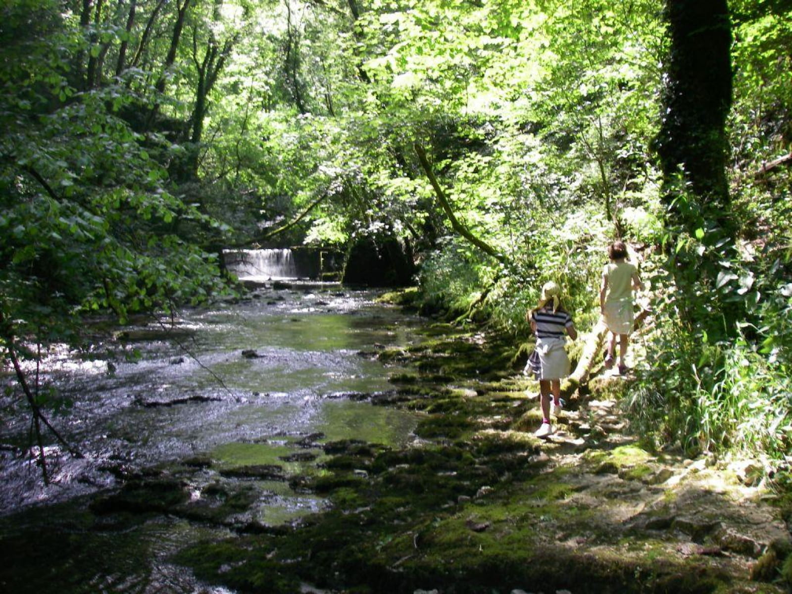
Sometimes walking through lobed-leaved trees and pines, sometimes walking in the fields and meadows ; from the crest dominating the Doubs to the Audeux Gorge, discover Bretigney and Silley…
Loop no. 17
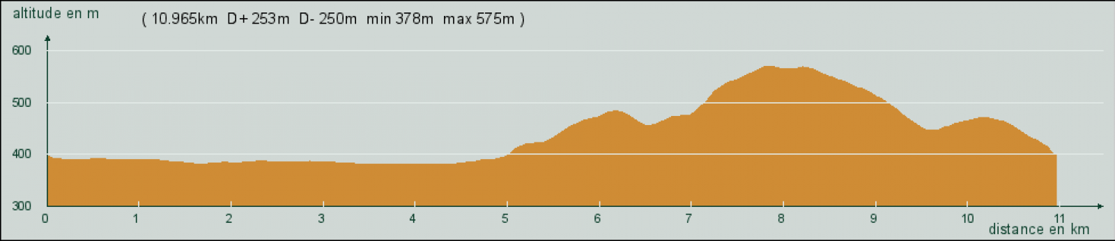
Distance: 11 km
Time: 3:15 hours
Difficulty: easy
Difference in height: 295 m
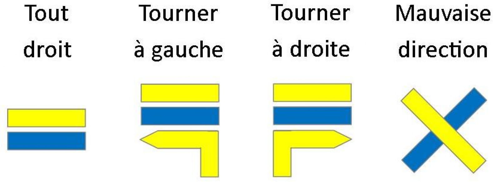
Trail markers: yellow and blue
IGN Hiking Map: 3423 ET
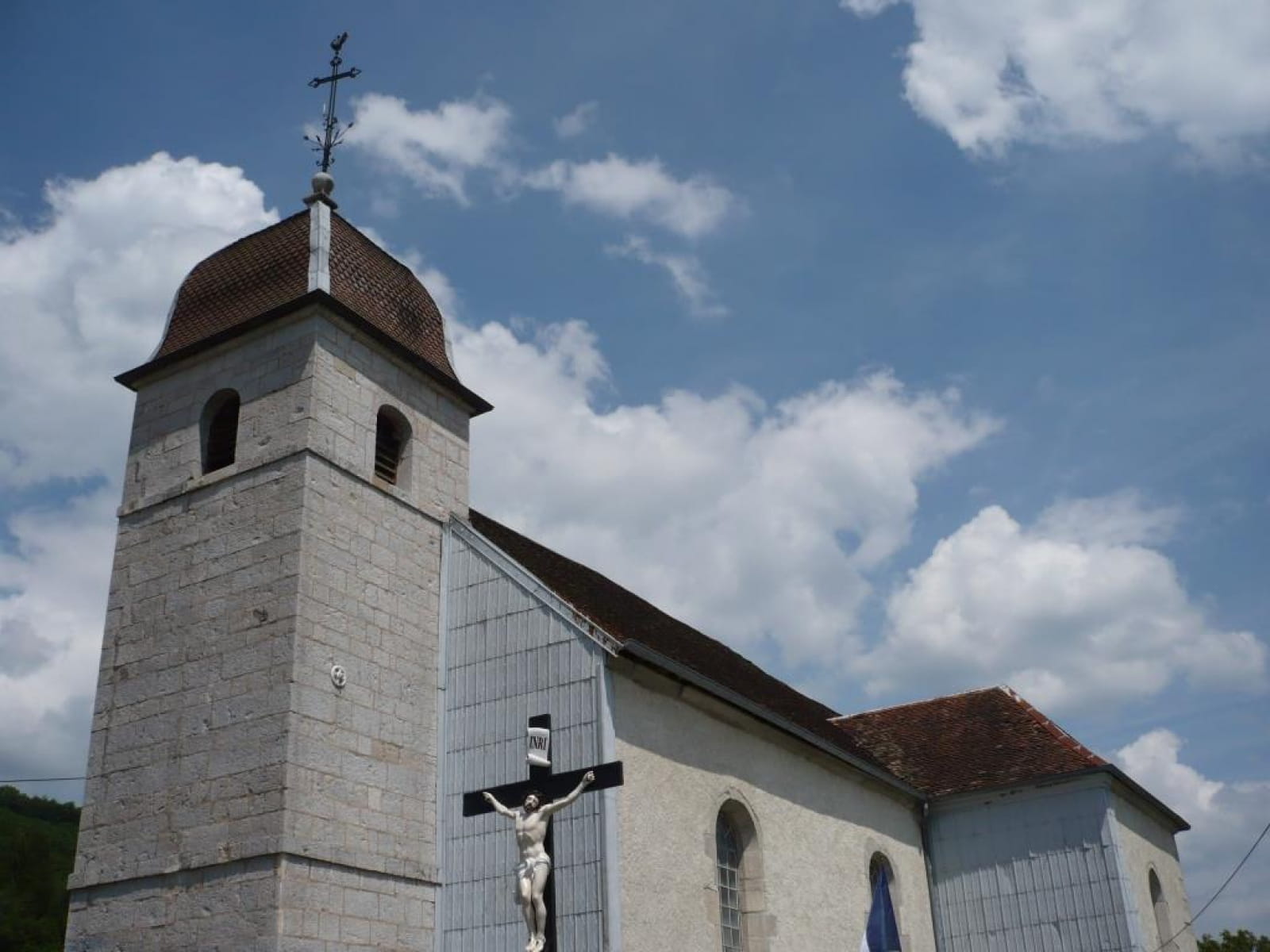
Start point: Bretigney-Notre-Dame Church. GPS Coordinates: 47.313130, 6.303422
Be carefull ! Part of the route lies over the cliff on the crest.
Download the GoogleMap on your smartphone: https://drive.google.com/open?id=1Xm5rnJPYwBnu8StUonD76BHygVw&usp=sharing
For more informations Walking loop - au pays des tuneux