


- 03 81 84 27 98
- https://www.ot-paysbaumois.fr
- View email address

Foot
Mount guillon walking loop
A family walk in the forest, with the main attraction being the view over the Cusancin valley. For sporty parents, the loop can even be completed with an adapted pushchair!
From the picnic area car park, cross the road and take the path across the pastures. Climb the hill. At the top of the hill, cross the road and go straight on towards "Mont de Guillon". This small, uphill road is seldom used.
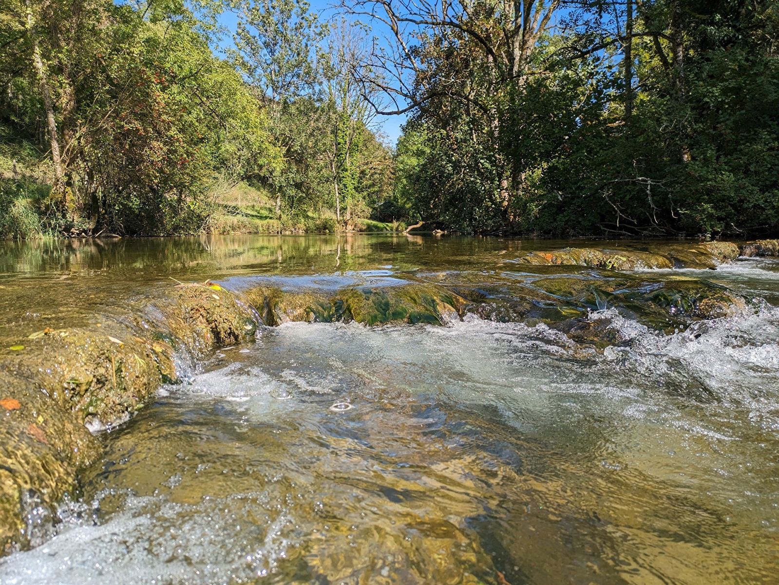
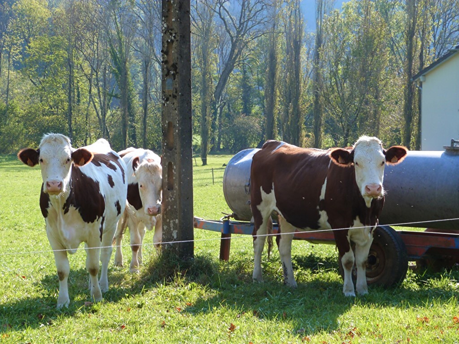
Further along on the right, the yellow and blue markings invite you to take a path through the forest (if you have a pushchair, stay on the road). The path comes out onto the road. Turn right. Pass the first farmhouse and continue to the second. Enjoy the view over the Cusancin valley, which is unobstructed all year round.
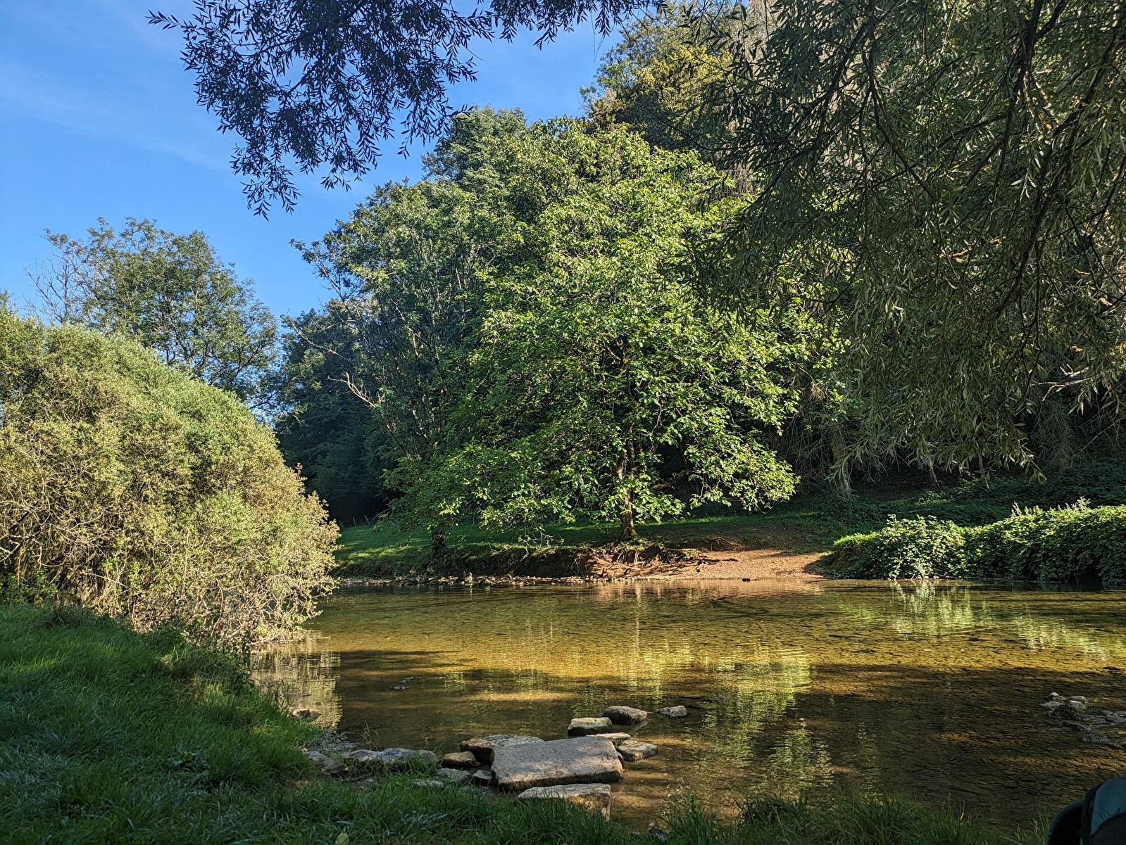
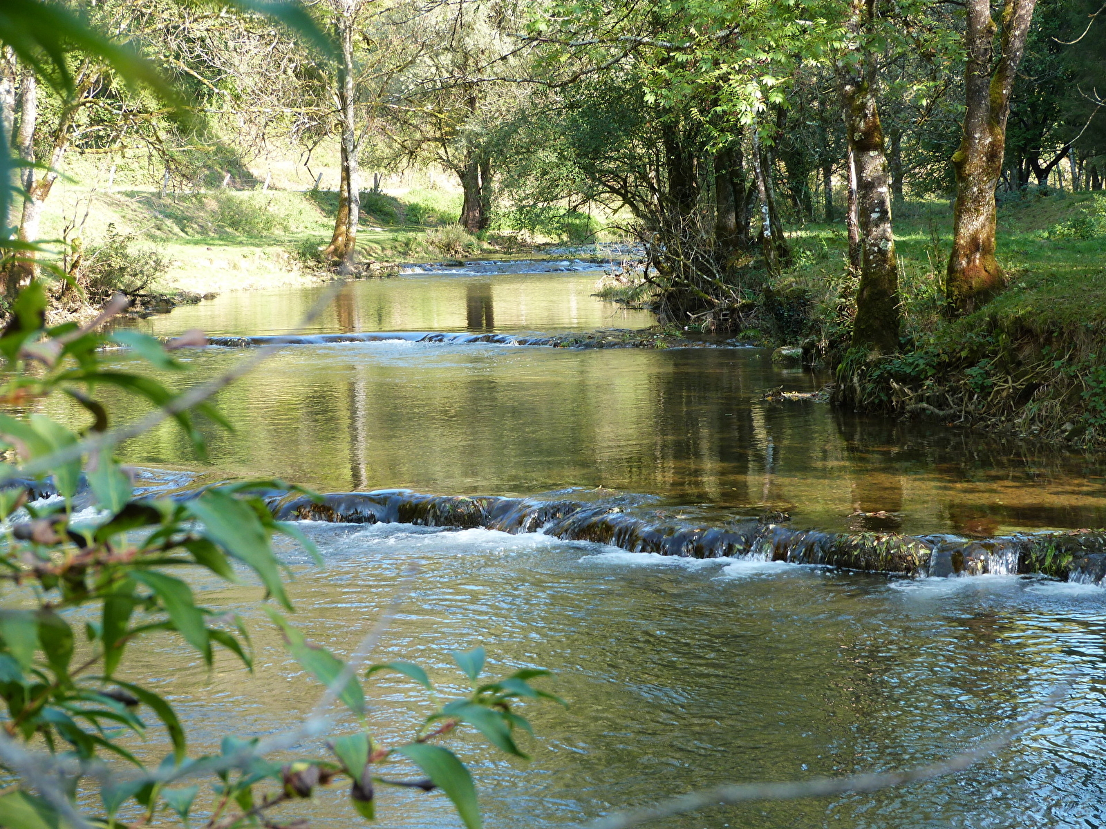
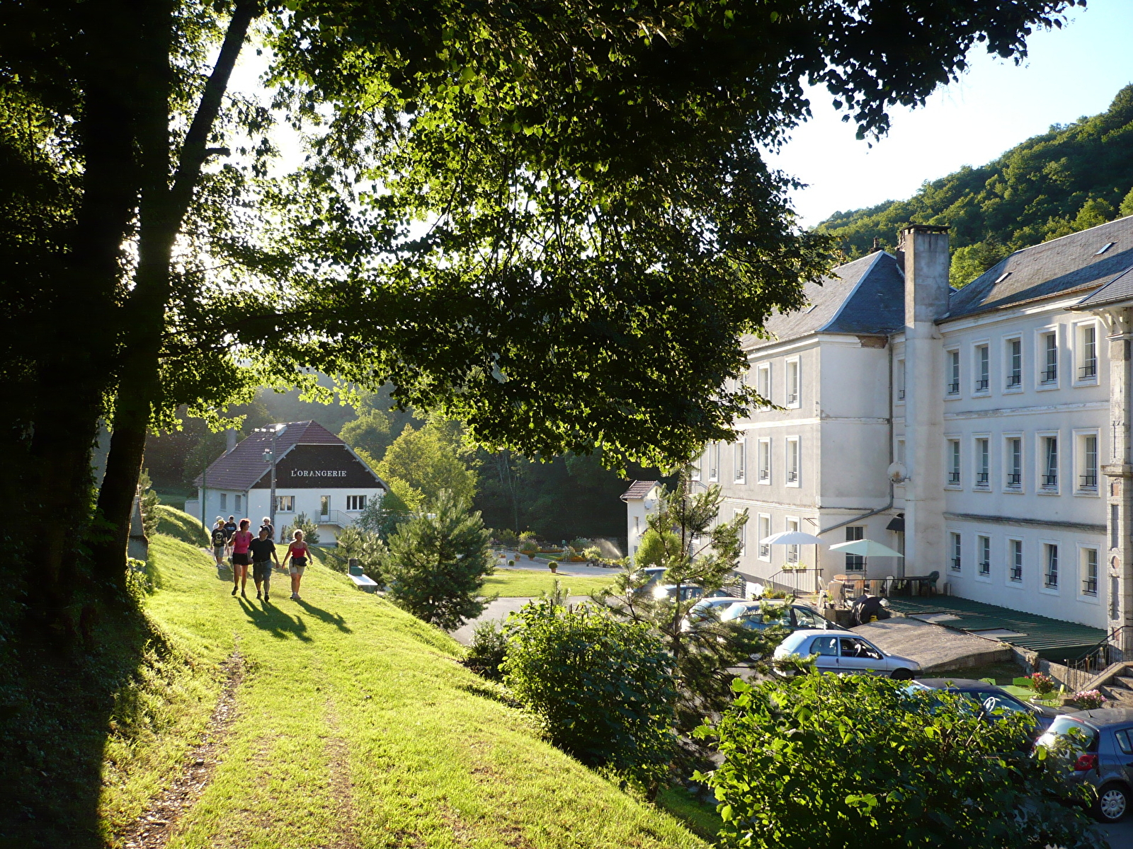
From here, take the path behind the telephone relay station and follow the yellow and blue markings. The stony path takes you back to the village of Guillon-les-Bains. As you descend, you can make out the old thermal baths below the path. Cross the pretty village of Guillon-les-Bains to reach the picnic area.
For more informations Mount guillon walking loop