


- 03 81 84 27 98
- https://www.ot-paysbaumois.fr
- View email address

Foot
Mount dommage hiking loop
Leaving from the Place Jouffroy d'Abbans car park in Baume-les-Dames (opposite Super U).
Stage 1: Take the rue du Moulin Vermoret and cross the red footbridge.
Stage 2: Follow the canal through the tourist complex. Follow the signs for the campsite and the Centre d'Affaires et de Rencontres.
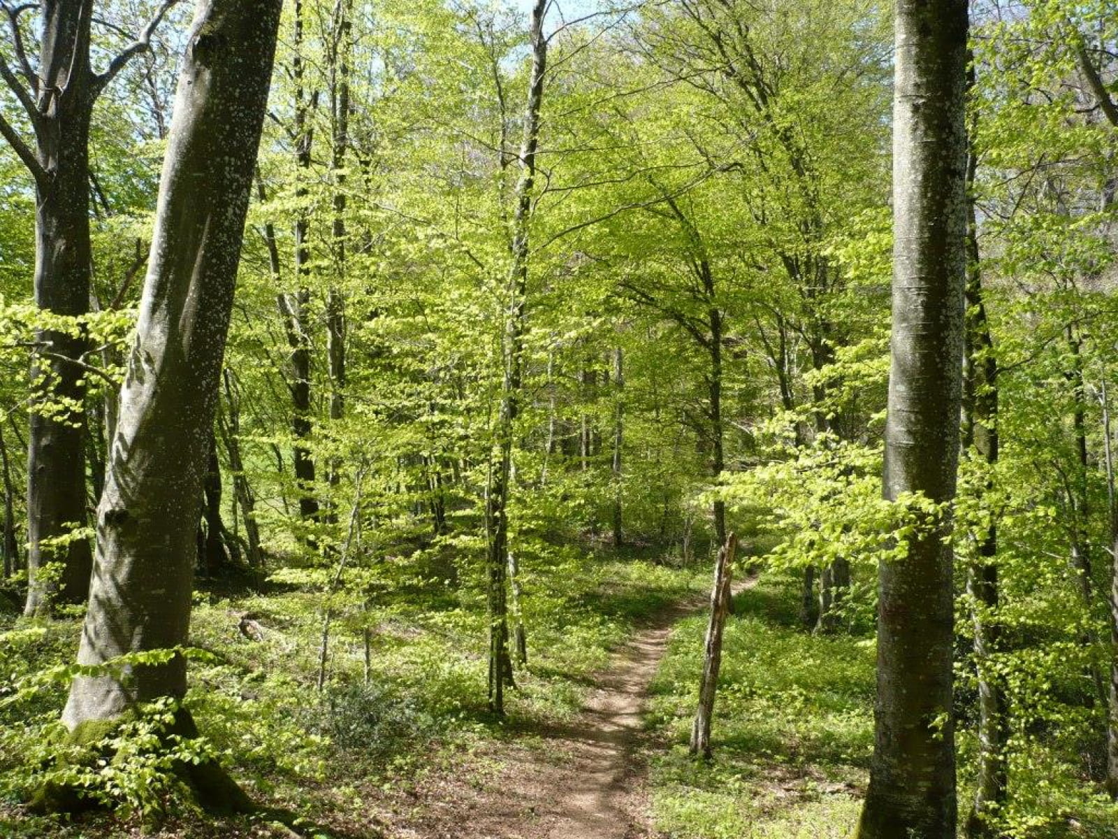
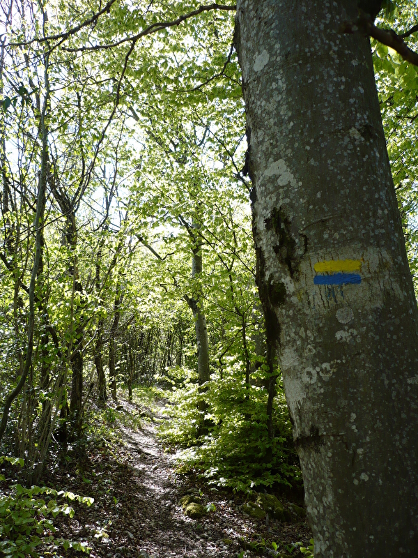
Step 3: Go past the entrance to the campsite and through the car park of the Centre d'Affaires et de Rencontres. To the right of the building, you'll find a yellow and blue signposted path leading up through the woods. You will come to the D112.
Step 4: Turn right and walk for about 100 m.
Step 5: Turn right onto the yellow and blue footpath signposted "Mont Dommage" (steep path). Follow the ridges along the cliffs, taking care on the uneven sections.
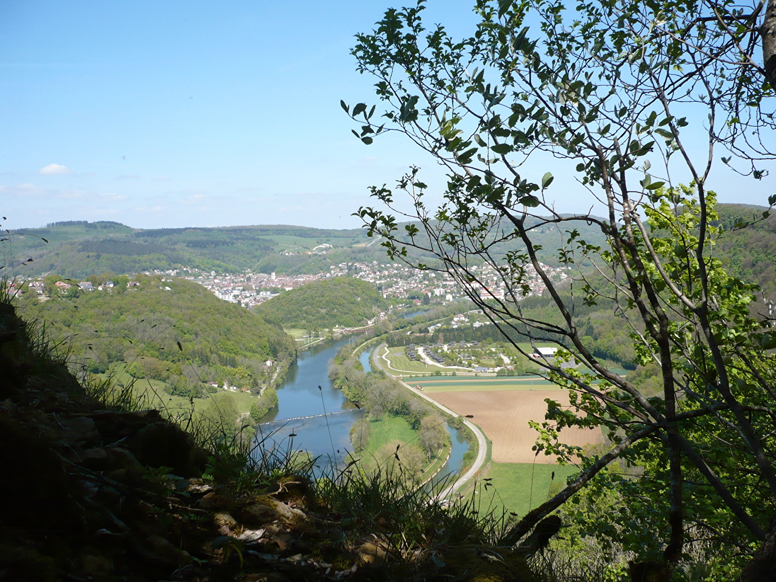
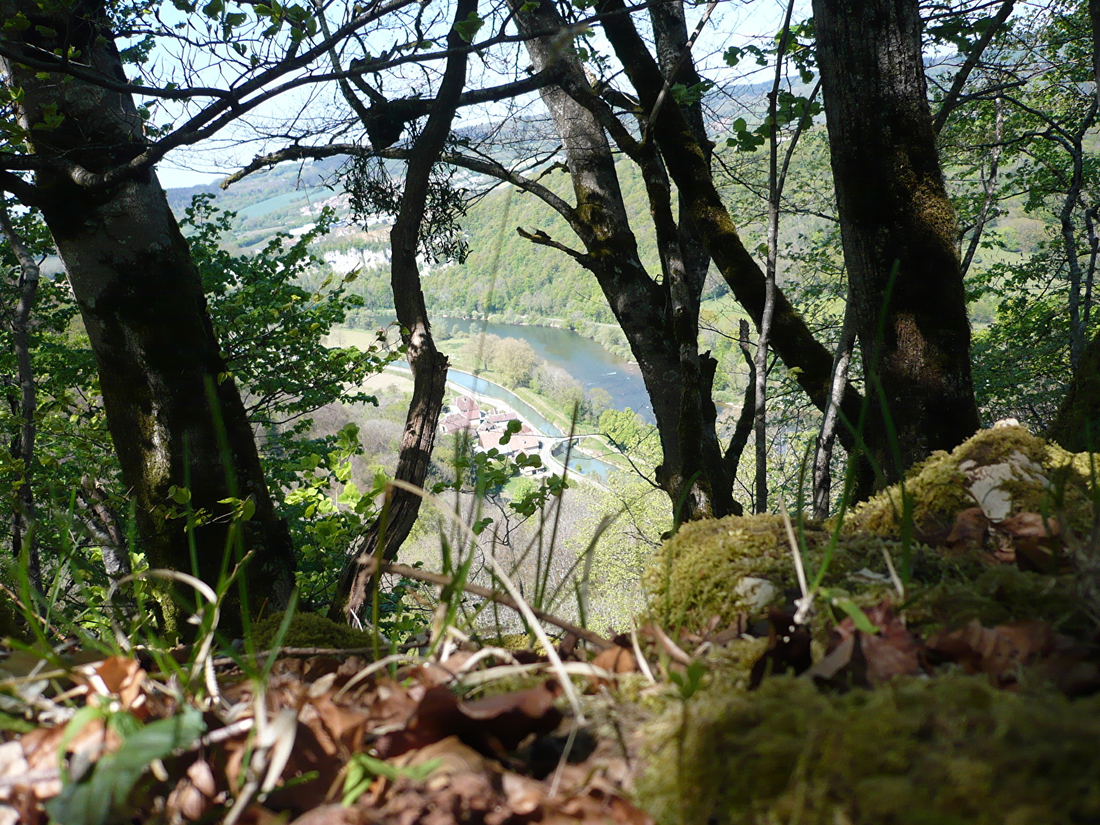
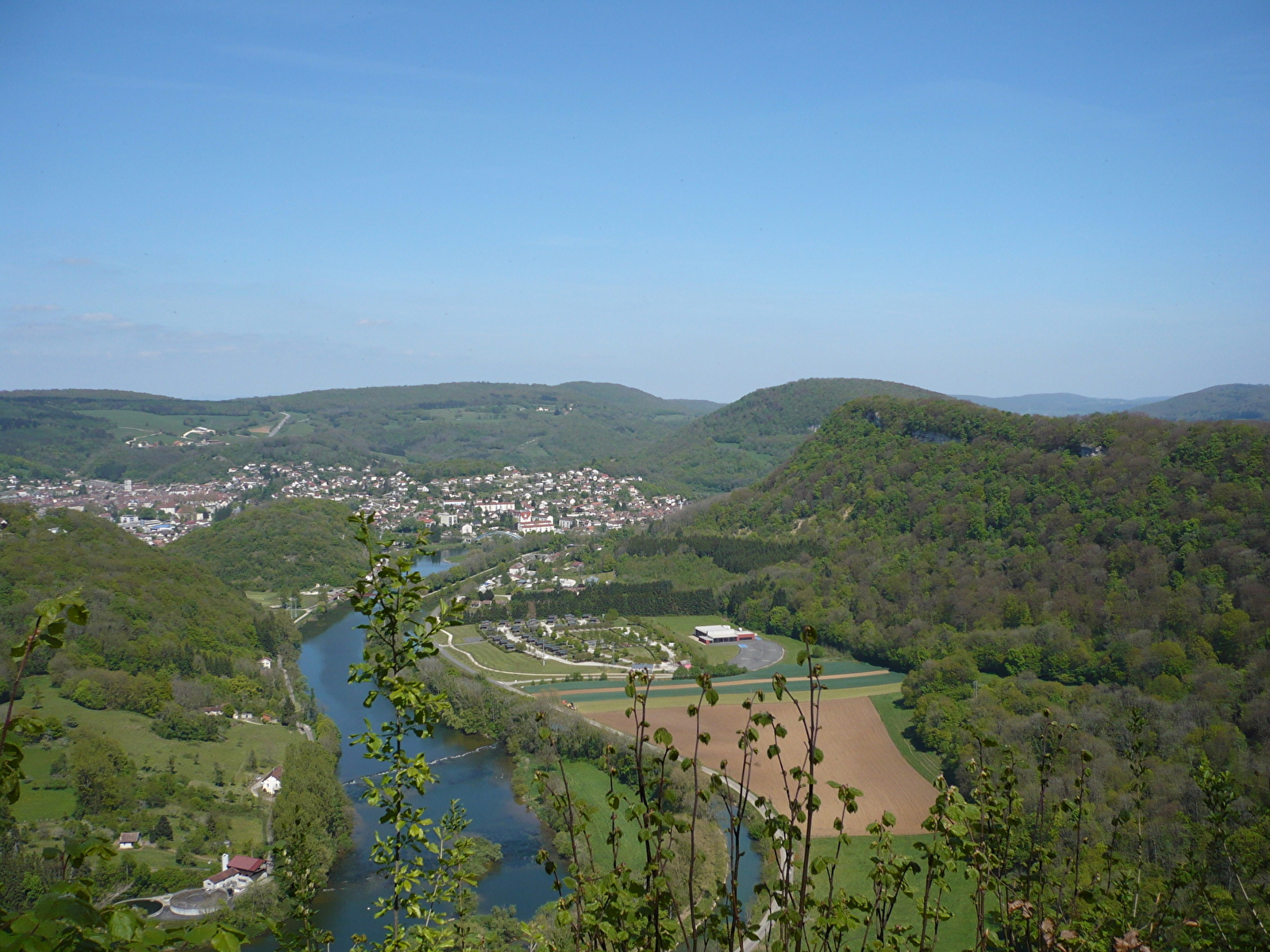
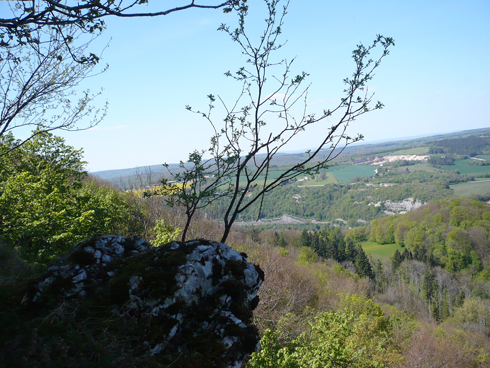
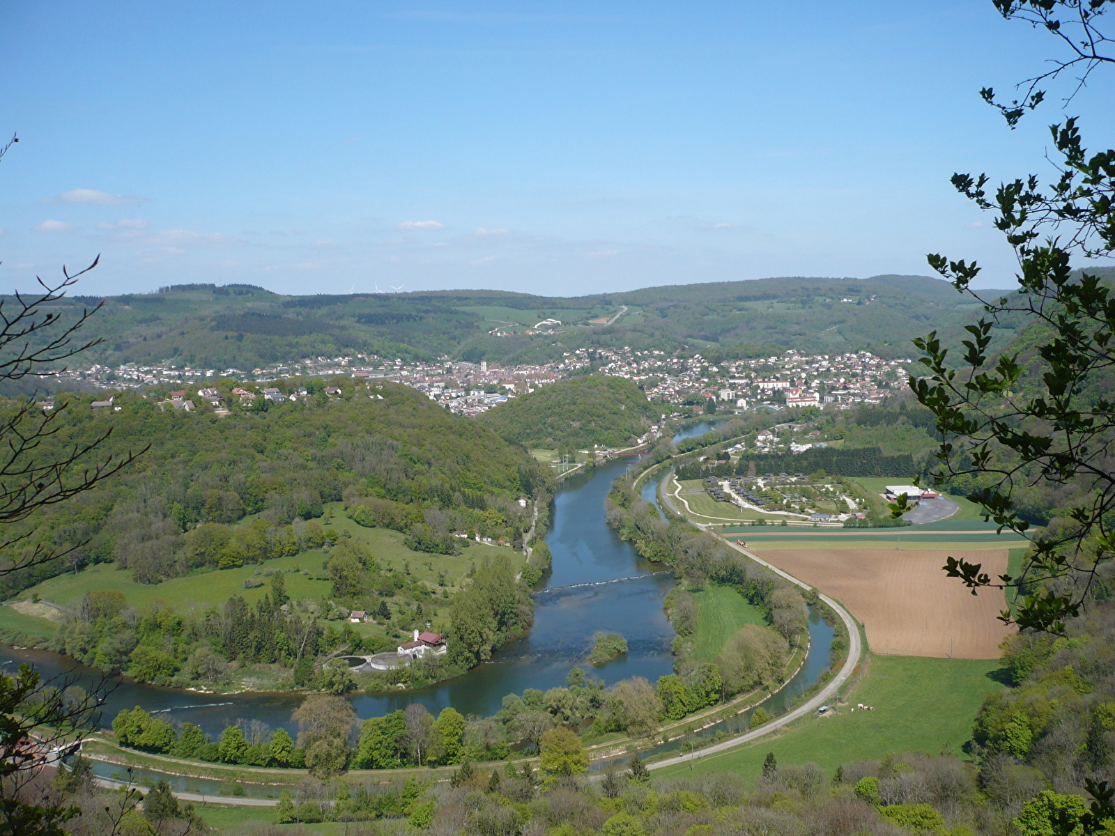
Stage 6: You arrive at a viewpoint overlooking the Doubs valley and Baume-les-Dames. Continue along the stony path. You'll find other viewpoints here and there (but not developed).
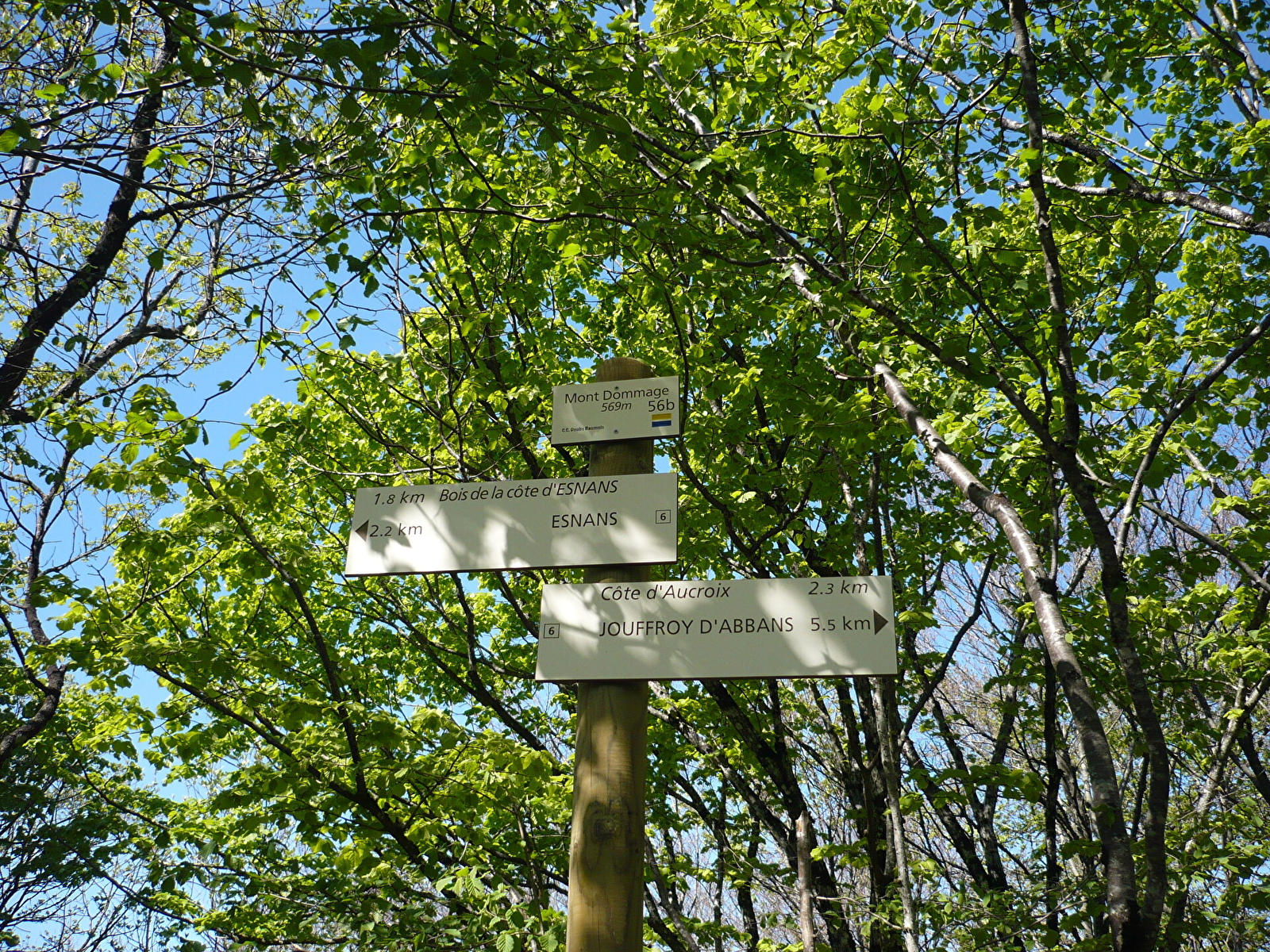
Stage 7: Then you reach the highest point of the walk: Mont Dommage (569 m).
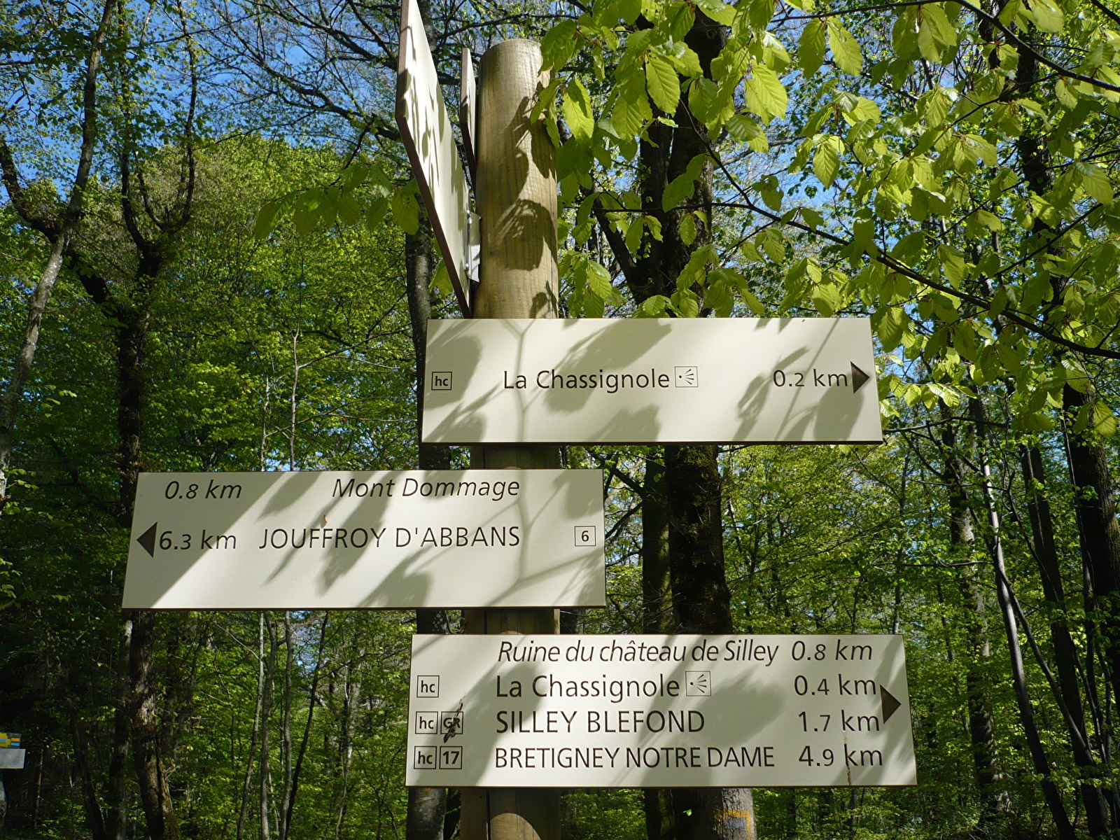
Stage 8: Descend towards Bois de la Côte. Make a diversion to the Chassignole lookout (equipped viewpoint). Follow the signs for Silley-Bléfond. After 200 m on the right, take the path leading to La Chassignole. From this viewpoint, you can see the village of Fourbanne.
Step 9: Retrace your steps as far as Bois de la Côte and head left down the path towards Esnans (steep slope). In front of you, the cliffs and the Saut de Gamache viewpoint.
Stage 10: In the village of Esnans, make a slight detour to discover the pretty wash-house in the centre of the village. You'll also discover some characterful houses and Comtois farmhouses. At the bus shelter on route des Moulinots, turn right towards Baume-les-Dames. Follow the road as far as the Baumerousse lock.
Step 11: Cross the bridge over the lock and take the towpath (not tarmacked). This will take you to the footbridge and back to your starting point.
For more informations Mount dommage hiking loop