- 03 81 84 27 98
- View email address

Walking loop - on the crests
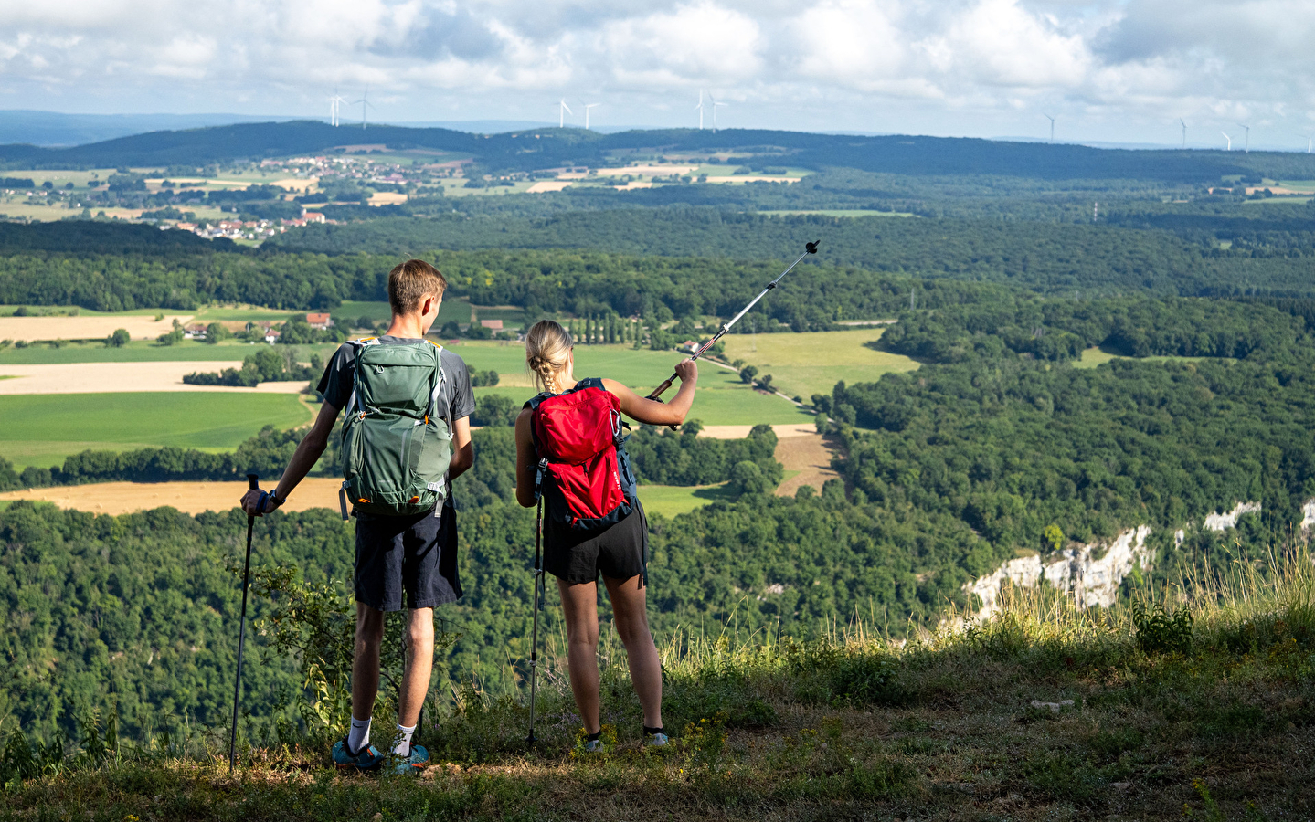
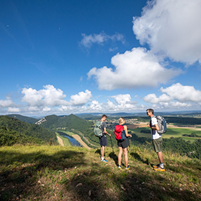
The route alternates between ridges offering views over the Doubs valley and more wooded sections.
STEP 1: From Champlive town hall, take the main road towards Laissey before turning right onto a steep road. Continue uphill into the woods, where the tarmac gives way to a gravel path.
STEP 2: Turn left at the hunting lodge. From this point onwards, be careful as at the top of the climb, you will need to take a path to the right. Bordered by tall trees, this path goes deeper into the woods to reach the ridge. You will be able to observe the different species of deciduous trees in this forest, the majority of which are beech, ash and oak.
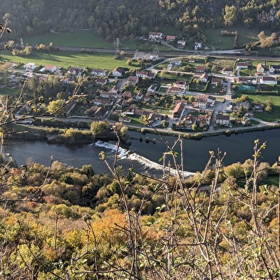
STEP 3: The path then follows the ridge, offering a magnificent panorama of the Doubs valley and the villages of Roulans and Ougney-Douvot.
STEP 4: At the white metal cross, leave the ridge and take a wide path to the right that descends to a small road.
STEP 5: Turn right onto this road and follow it for 1.5 km.
STEP 6: The next change of direction is a sloping path on the left, so be careful not to miss it or you'll end up back on the same route as before. You then descend gently along a path in the woods.
STEP 7: Finally, return to the village of Champlive, passing pastures.


