- 03 81 84 27 98
- https://www.ot-paysbaumois.fr/
- View email address
The 3 fountains
This walk starts in Moncey and takes in the fountains and banks of the river Ognon.
Starting point: Champs de Paule car park, Moncey 25870 (on the road to Thurey-le-Mont)
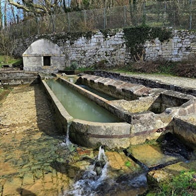
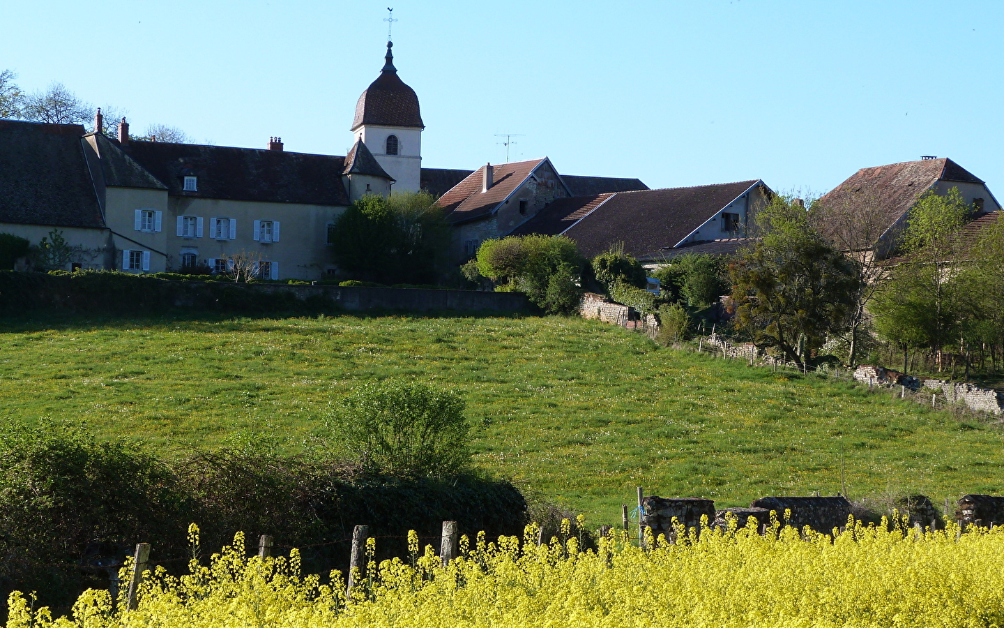
STEP 1: From the chemin Vert car park, walk up the rue du Cray into the centre of the village. You'll have a great view of the pretty Comtois bell tower of Moncey church and a glimpse of Moncey castle. Turn left into rue Charles De Gaulle and then right into the main street. Slightly to your left, you will see a fountain which is a covered wash-house dating from 1873.
STEP 2: Turn right again and drive through the village towards Thurey-le-Mont on the D14.
Reach the village of Thurey-le-Mont. Just before the Erhard factory, take the Chemin de Combe on the left. You will pass through a wooded area that leads to the lower fountain.
Continue along this path until you reach the centre of the village via the chemin des fontaines.
When you arrive opposite the town hall, take the first turning on the left, onto the D267 towards Valleroy.
STEP 3: Once you are in Valleroy, go around the town hall by turning left onto rue des fontaines . At the next junction, follow the road as it becomes a stony track marked in yellow and blue. Just to the right of the property, take the path through the forest.
STEP 4: At the bottom of the path, make a small diversions to your left to reach the 18th-century Rosemont fountain, also known as the "spring room".
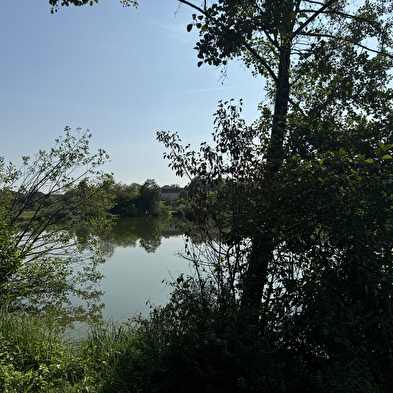
Continue along the path that runs alongside the banks of the Ognon (former sand and gravel pits) and follow the signs for Côte au Roux.
STEP 5: Once you reach the côte au Roux, take the path on the right until you reach the banks of the Ognon again. This path leads to the Manant fountain.
STEP 6: At the next junction, go downhill on the D14E1 for about 100 metres, then turn right onto the forest path marked in yellow and blue. You will pass through a spruce forest before reaching the Bois de la Chaille. Always follow the signs.
As soon as you leave the wood, take the stony path back to the village of Thurey-le-Mont along the combe.
STEP 7: Pass the town hall and continue on the D14E1 towards Moncey, then the starting point.


