Foot
Les Myrtilles
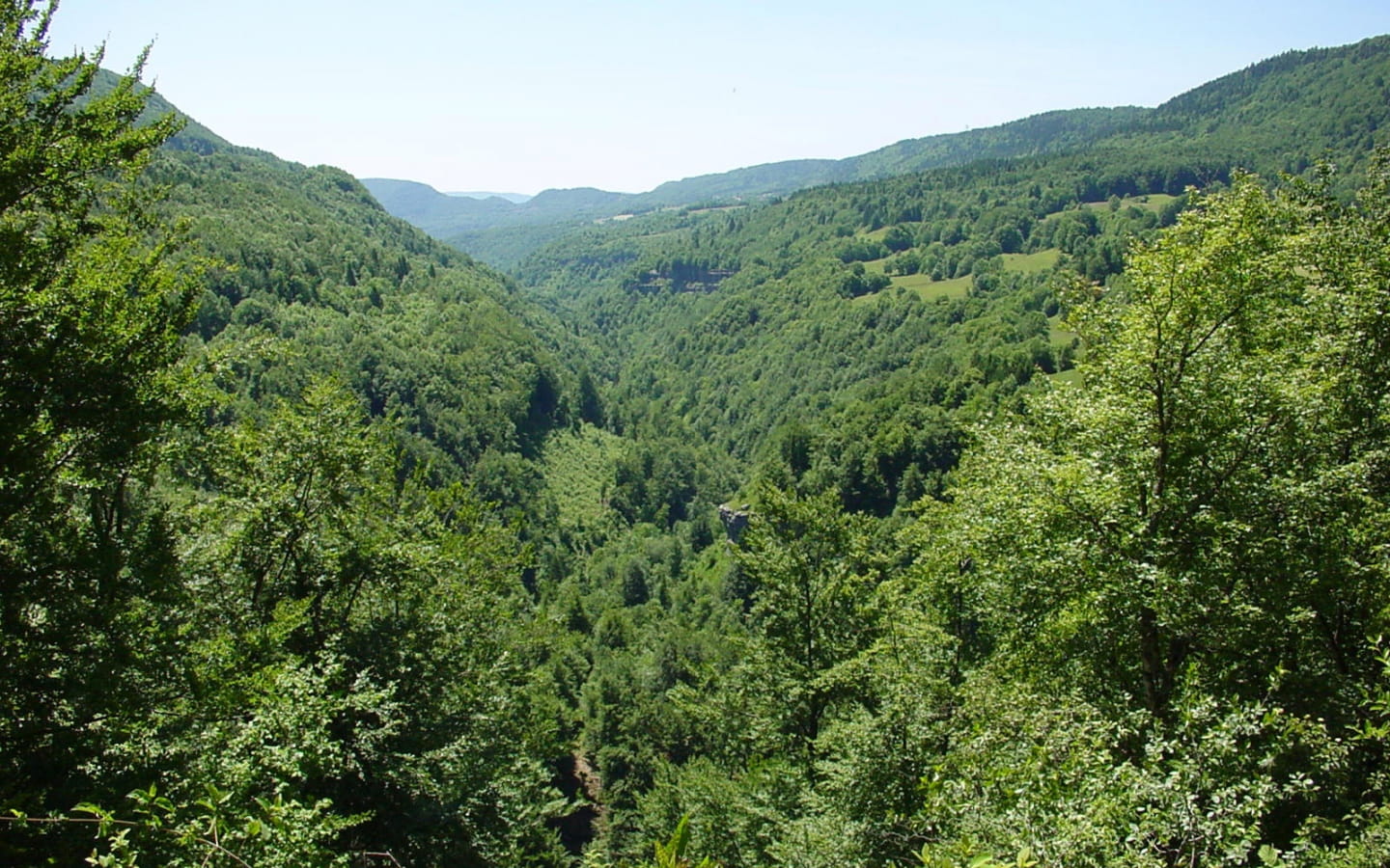
This short, easy hike takes you on a journey to the heart of the Bienne valley.
Rising at the Bief de la Chaille in the commune of Les Rousses, the river La Bienne is flanked to the east and west by very steep slopes, cutting deeply into the Jura folded massif as far as Saint Claude.
Its slopes, most of which are forested, become inaccessible in places, with steep cliffs, particularly around the small village of Lézat.
For more informations Les Myrtilles


