


Foot
Circuit de randonnée pédestre - sous-buen
Loop 5b - Short walk in the Cour district, along the banks of the Doubs and the Rocher de Sous-Buen.
STEP 1: Cross the car park, then the roundabout and follow the Cour sign opposite. Continue straight ahead along rue du Moulin (you will be skirting the Doubs). When you reach the old weaving mill, which you will recognise by its chimney, continue straight on.
STEP 2: You come to Rue des Grottes. Turn right and continue straight ahead. At the end of the road, cross the car park and continue straight ahead on the footpath.
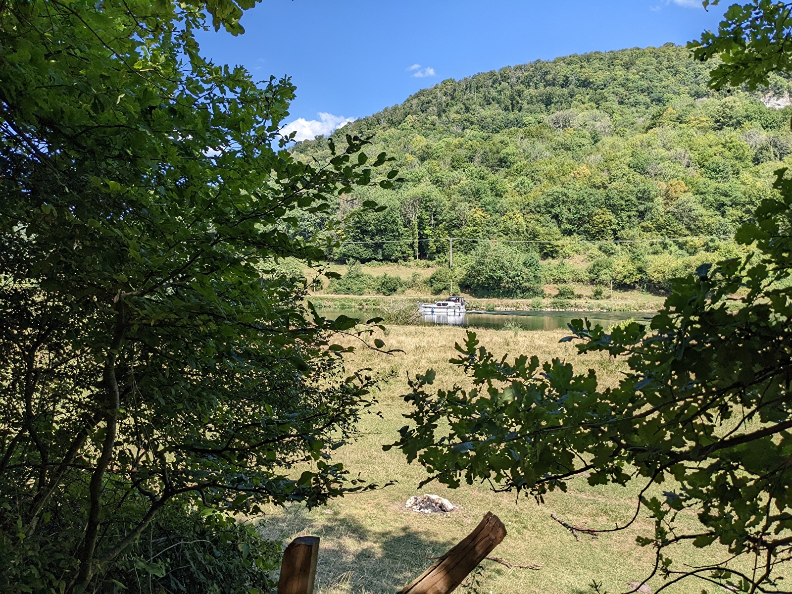
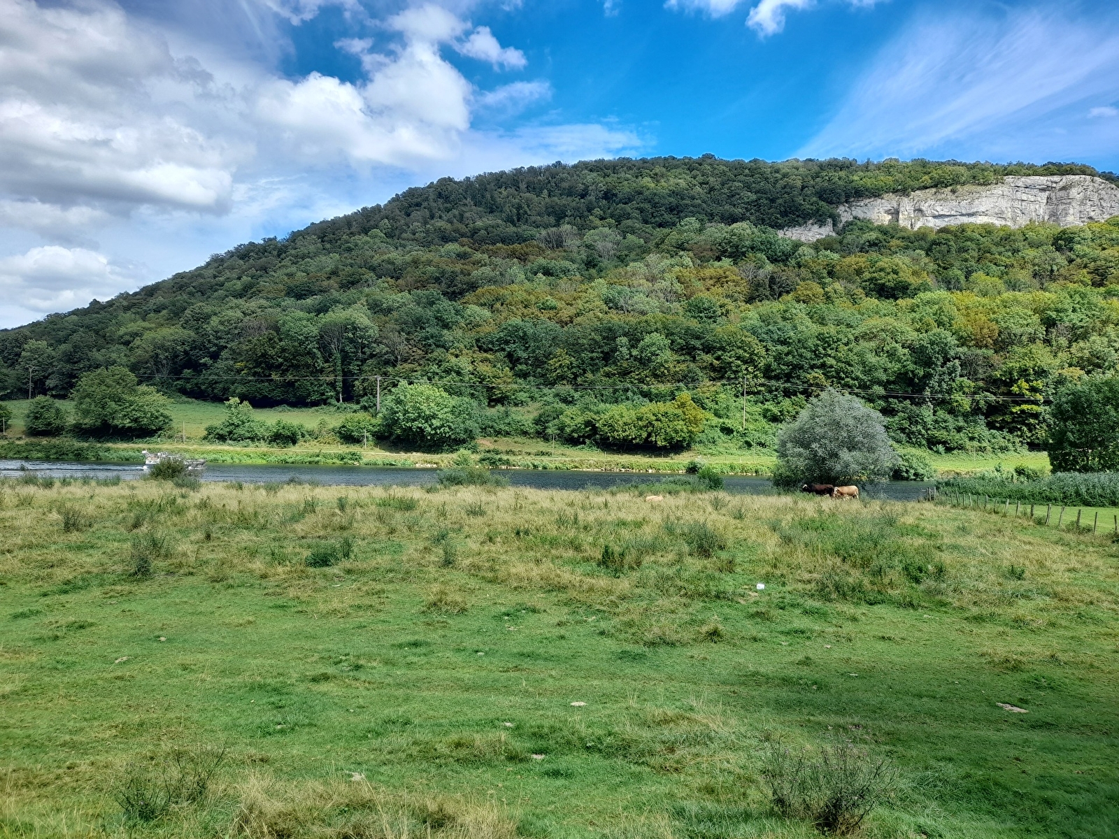
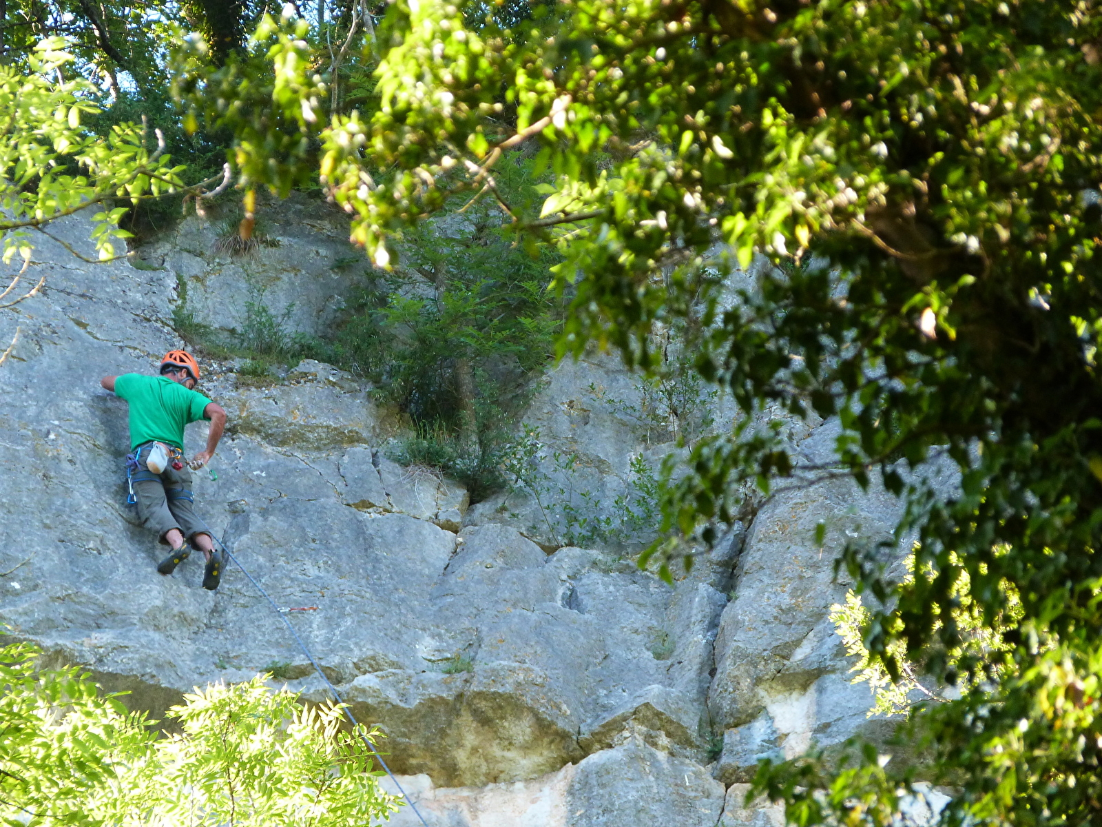
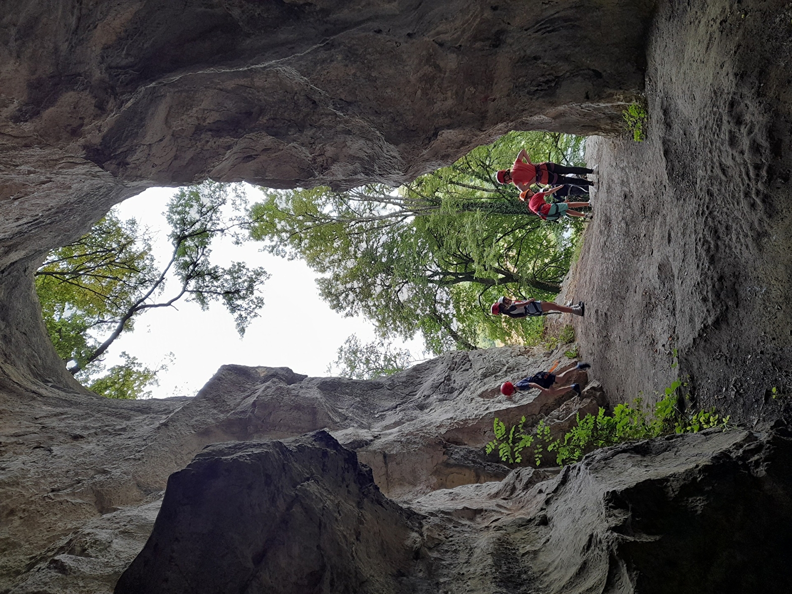
STEP 3 : Enter the pasture at the red turnstile. Cross the pasture, skirting the cliff. On your left, you'll see the Rocher de Sous Buen, a popular climbing spot. You may even discover a small cave at the top of the ladder (your children are your responsibility). Continue along the banks of the Doubs until you reach the D683 road.
STEP 4: On this busy road, follow the signs for the town centre.
Just before the roadworthiness test, take the Chemin du Croyot (a good uphill road).
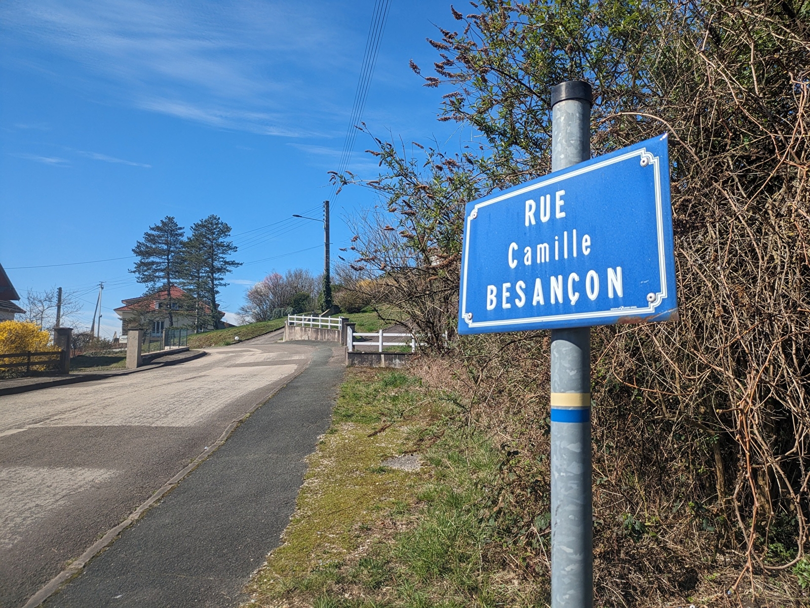
Turn right onto the 3rd street (rue Camille Besançon). You will overlook the Cour district, which was an independent village before it became a district of Baume-les-Dames.
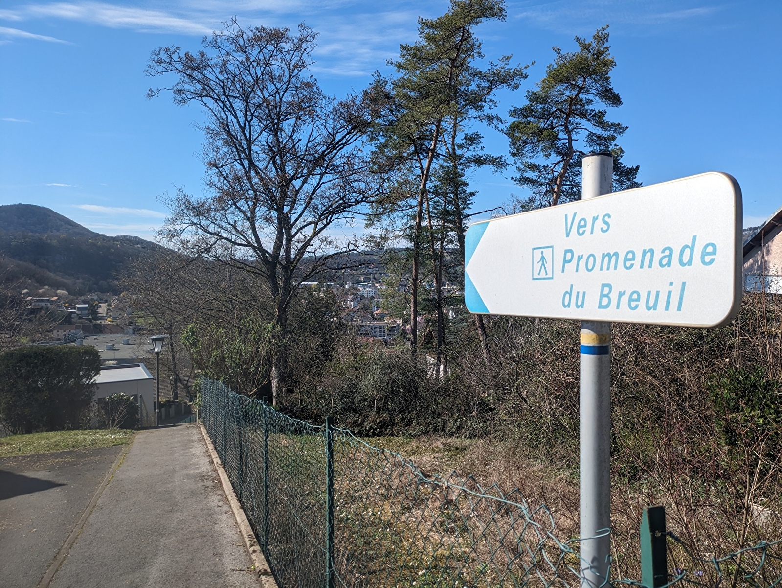
STEP 5 :Further down on the left, follow the signs for "Promenade du Breuil". Go down a flight of steps which becomes a fairly steep street. After the bend, turn right. At the junction, turn right.
STEP 6: You come to a road with more traffic. Cross the road and continue straight ahead up the steps towards the Promenade du Breuil.
STEP 7 : Walk behind the supermarket and turn left. Cross the road and you're back at Place Jouffroy d'Abbans, your starting point.