


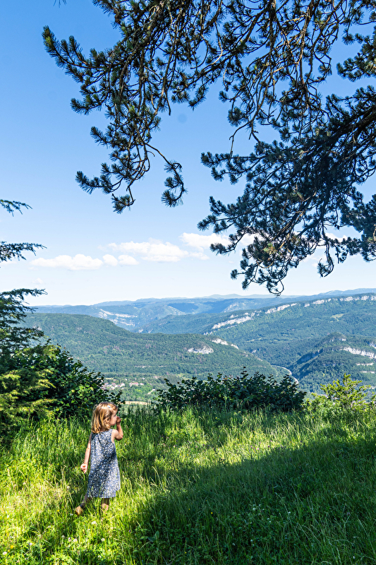
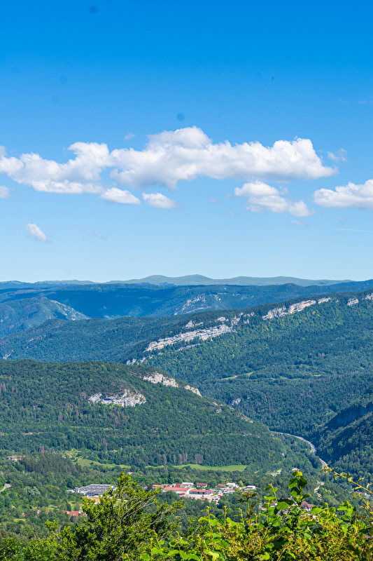
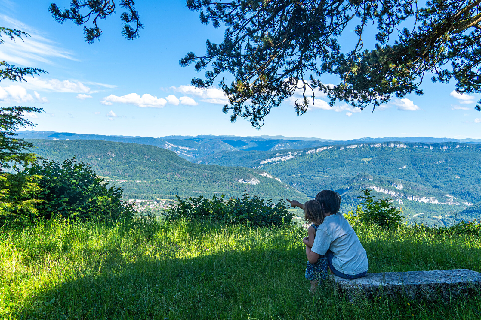
Belvédère de la Scia
Discover the Scia viewpoint
Return path
Lizon hillsides
Time: 2h to 2h30
Distance: 8km
Difference in altitude: +260m
Marked GR
At an altitude of 800 m, this listed natural site offers a superb panorama of the Haut-Jura mountain range. The viewpoint is equipped with an orientation table to help you find your way around. There are also picnic facilities.
Access: Go to Saint-Lupicin. Start from the church forecourt. Head towards La Seigne, then "Sur la Roche" and turn left towards
Le Patey (GR9). Take the road as far as the hairpin bend, then head into the forest, still on the GR. The slope climbs, skirting a rocky spur before reaching the viewpoint. Take the same path on the way back (possibility of a loop: direction Entremur, le Goulet, Cuttura, yellow markings).
GPS coordinates :
latitude N 46.400944 / longitude E 5.792407
Belvedere also accessible by car from Lavans-lès-Saint-Claude:
drive past the Smoby buildings and head towards Champandré and Le Patey. The lookout is then 5 km away and signposted at various junctions. The road to the lookout becomes narrow. Adjust your speed and take care!
