Natural Site
Sentier découverte les Bouchoux
Discover the Bouchoux discovery trail
Return path
Les Bouchoux
Time : 0h30
Distance: 1km
Difference in height: +10m
Yellow markings
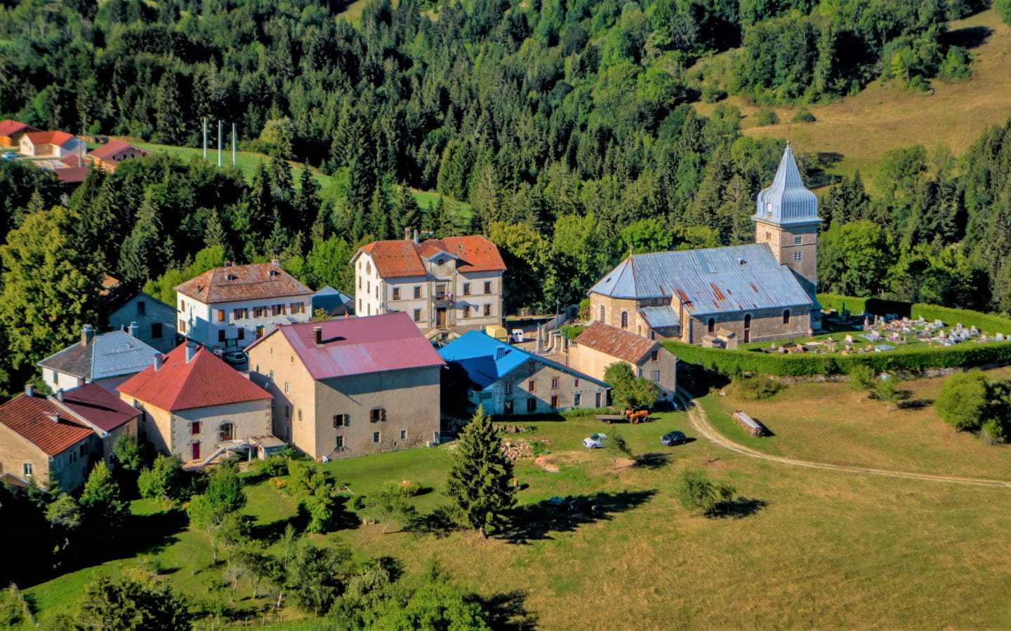
The Madone lookout offers a remarkable view of the charming village of Les Bouchoux, the Croix des Couloirs and the Tacon valley where the river of the same name flows.
Access: On the D124 linking Saint-Claude to Belleydoux (Ain), reach the junction with the D25E1 - leading to Les Bouchoux - then continue for 500 m to reach the car park on the Route Forestière du Cuchet, on the edge of the RD. See the information board.
GPS coordinates :
latitude N 46.300763 / longitude E 5.808853


