Sentier des Chamois du Jura
Discover the Jura Chamois Trail
Loop trail
Septmoncel les Molunes
Time: 4h / 5h
Distance: 16km
Difference in altitude: +1067m
Signposts: educational markers
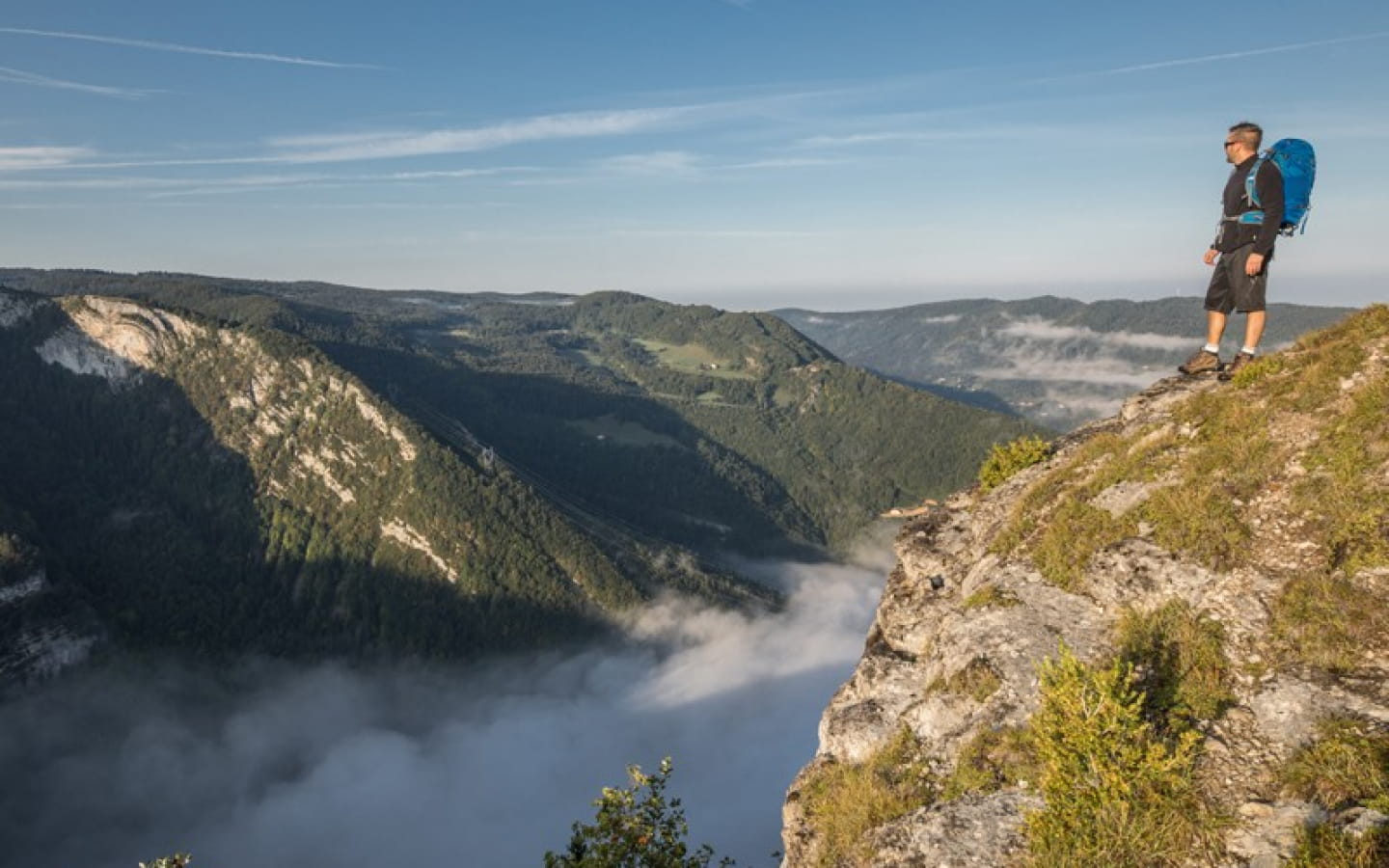
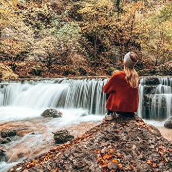
The Sentier des Chamois is the ideal way to get close to the fauna and geology of the Jura massif. This is a technical hike, with a high positive and negative gradient, and is designed for experienced hikers. The route takes in a number of well-known peaks and viewpoints in the area, offering impressive views of the Flumen valley and its waterfalls, the Combe de Laisia and many other typical places that are a must-see!
This trail can be walked in stages over one or more days (three smaller loops are possible).
Access: Head to Septmoncel, then from the village square (Place Dalloz), follow signs for "Plateau Multisports Le Replan". Follow this road uphill for 800m. Park near the football stadium. The path starts here.
GPS coordinates latitude :
N 46.369581 / longitude E 5.903743
Please note that the name of this trail refers to its difficulty: some sections are difficult and require good hiking skills. The trail is not recommended for those afraid of heights.


