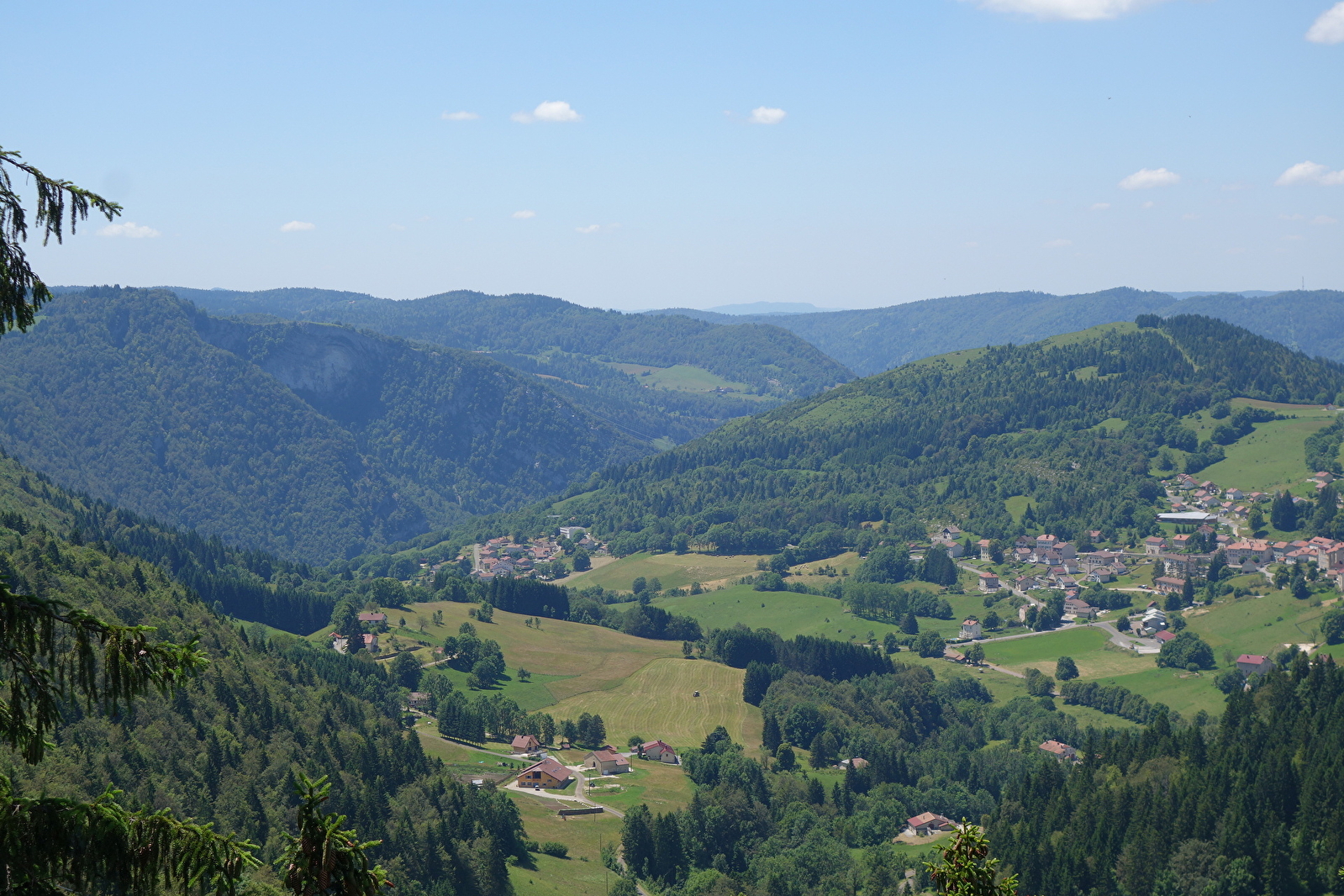
Sentier des Lapidaires
Discover the Lapidary Trail
Loop trail
Septmoncel les Molunes
Time: 2h / 3h
Distance: 9km
Difference in altitude: 340 m
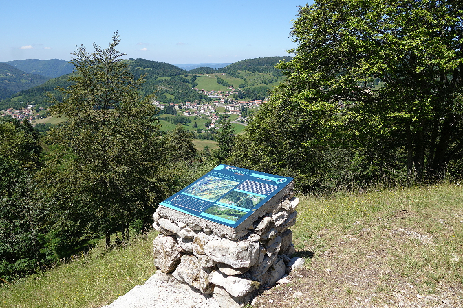
Markers: educational
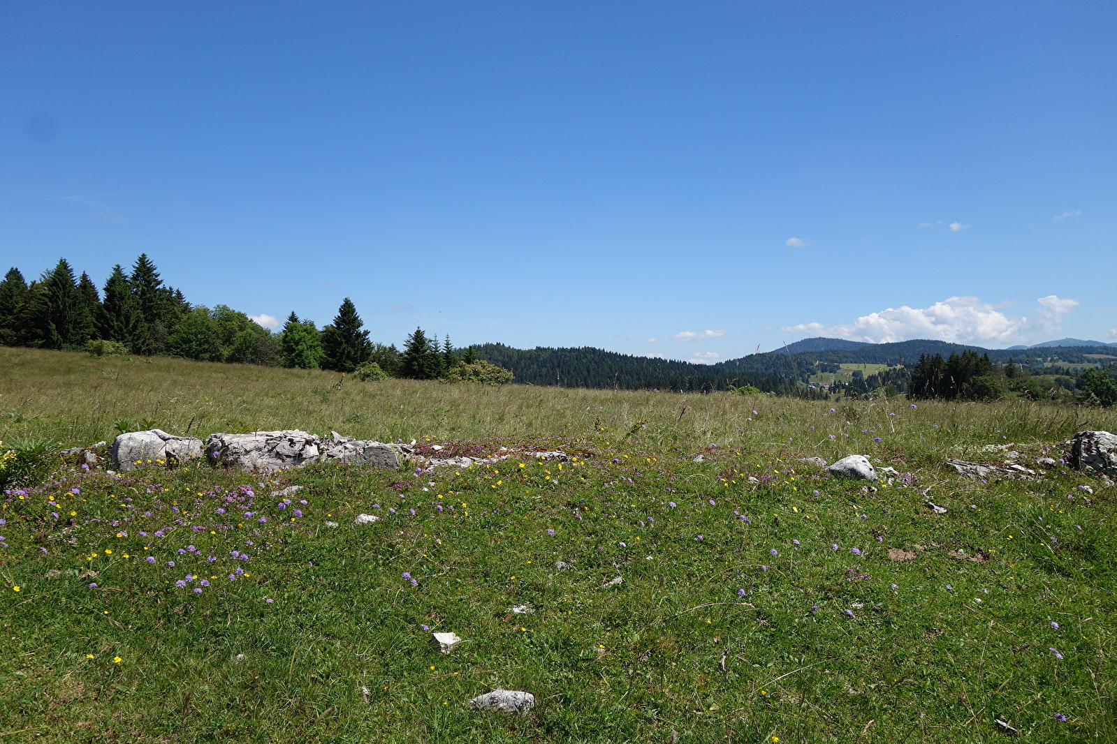
This themed trail gives you the freedom to hike without a map and discover the beauty of the Jura panoramas on a unique educational walk! Thanks to the signposts, which guide you along the 9 km trail, you'll learn more about the environment, the typical landscapes and the history of a traditional skill in the Upper Jura: lapidary. An accessible trail, to discover on your own or with your family
What are the lapidaries of the Jura? Lapidary is a historic activity in the Haut-Jura. It involves cutting and polishing coloured stones, mainly used in jewellery. The word "lapidary" comes from the Latin "lapis" meaning "stone".
Access: Go to the village of Septmoncel, then follow the signs for "L'Etain" as you leave the village on the Saint-Claude side. Follow the road for 1 km. Drive through the hamlet, then park on the left-hand side of the road at the "Le Chapy / La Couronne" junction. The path starts here.
GPS coordinates :
latitude N 46.3714 / longitude E 5.9263