La grotte de la Pontoise
During the last ice ages (20,000 to 10,000 BC), the cold, abundant meltwater from a glacier flowed over the surface of the limestone rock and infiltrated through drainage cracks, gradually widening as the rock dissolved.
Over the course of a few thousand years, a subterranean network of narrow fissures and vast chambers with varying amounts of water developed.
Today, the Grotte de la Pontoise is no longer the site of significant water circulation.
The water circulating in the underground galleries emerges into the open air via exurgences.
The Grotte de la Pontoise is one of the entrances to an underground network that flows into the Bienne, and can be explored for the first 315 metres.
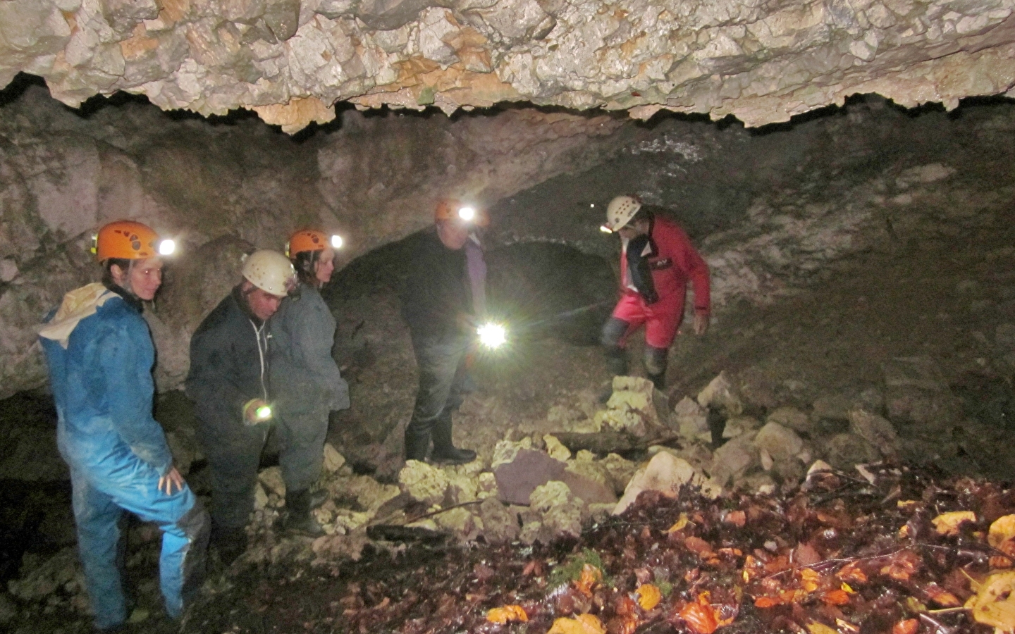
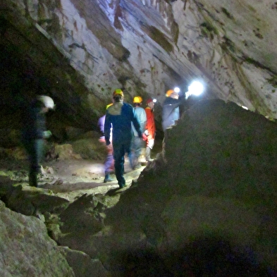
With a minimum of equipment and a great deal of caution, the Grotte de la Pontoise can be explored by visitors who respect the site.
However, some parts of the cave are slippery and steep, so there is a risk of falling.
The underground water trail :
The Grotte de la Pontoise is an ancient water entry point in a vast underground circulation system (known as "karst"). Fluorescein staining of a trickle of water escaping from the main chamber shows that the coloured water emerges 10 hours later at the Borne à Coupier and Bief Goudard outlets, making for an underground route of 2km as the crow flies and a 300m drop. Known only at this entrance and at the two exurgences, the karstic network of which the Grotte is a part is certainly very extensive and drains seepage water from the entire slope of the Vallée de la Bienne.
Any discharge of pollutants on the surface will have harmful consequences for the quality of the water in the Jura springs.


