


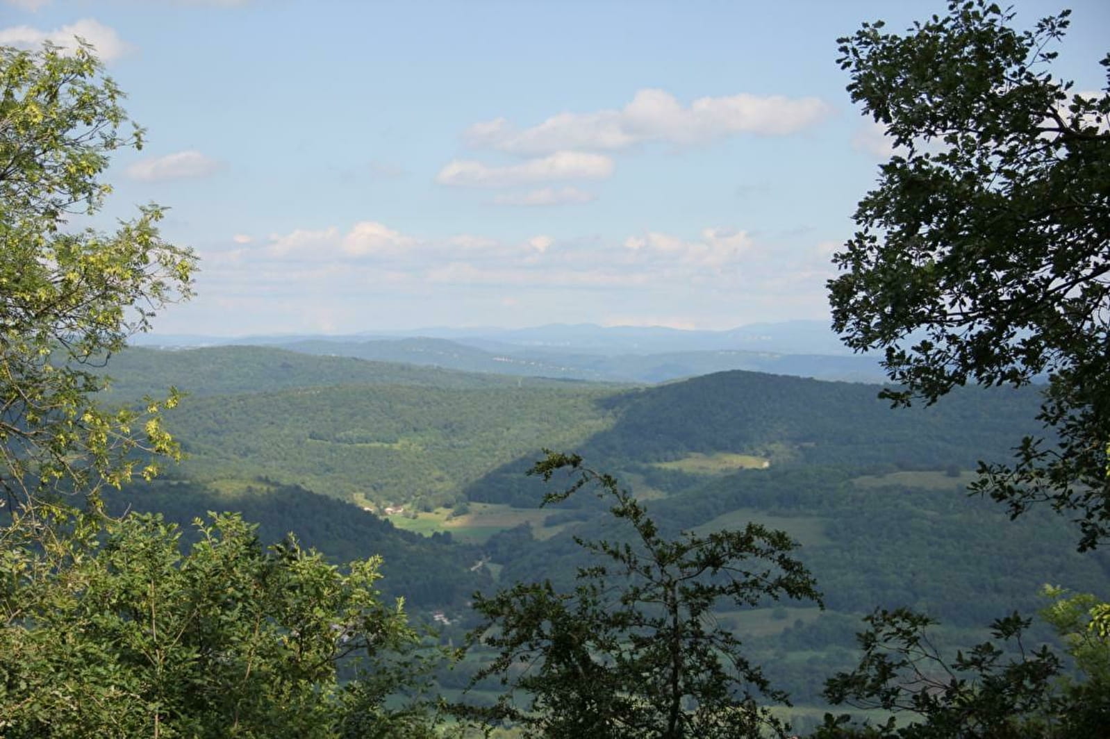
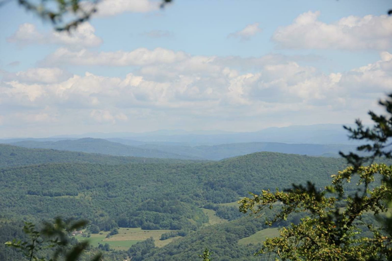
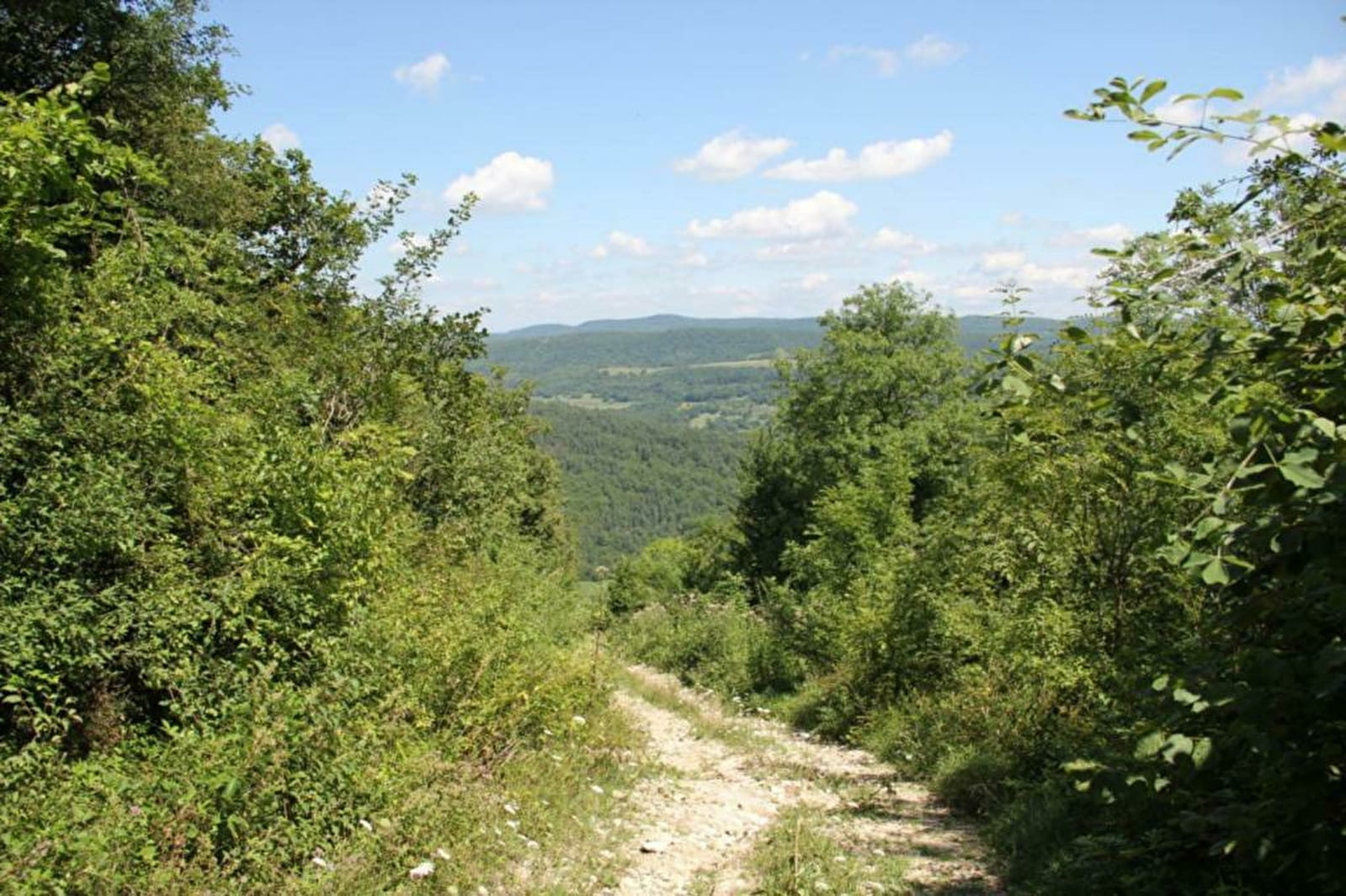
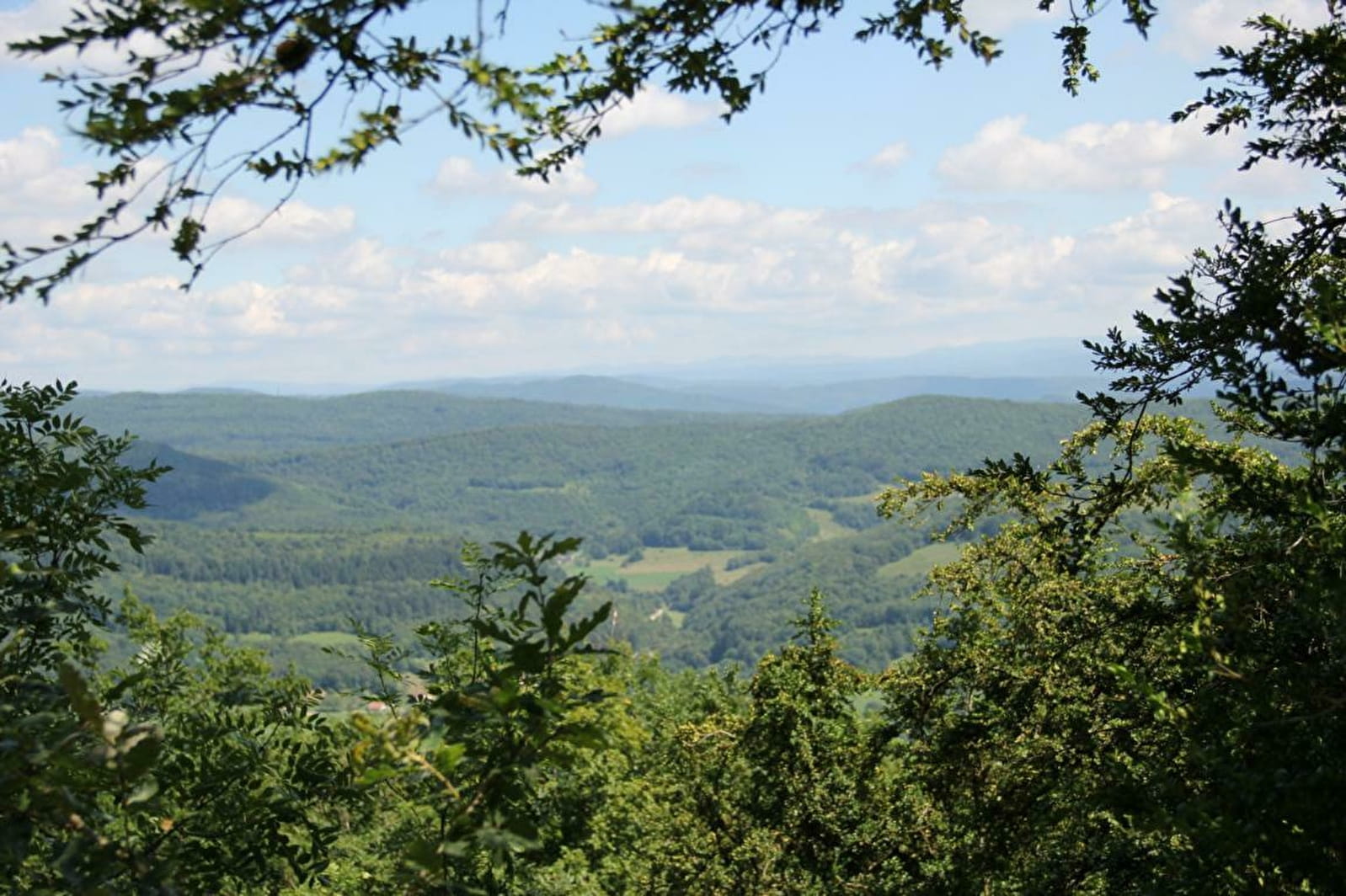
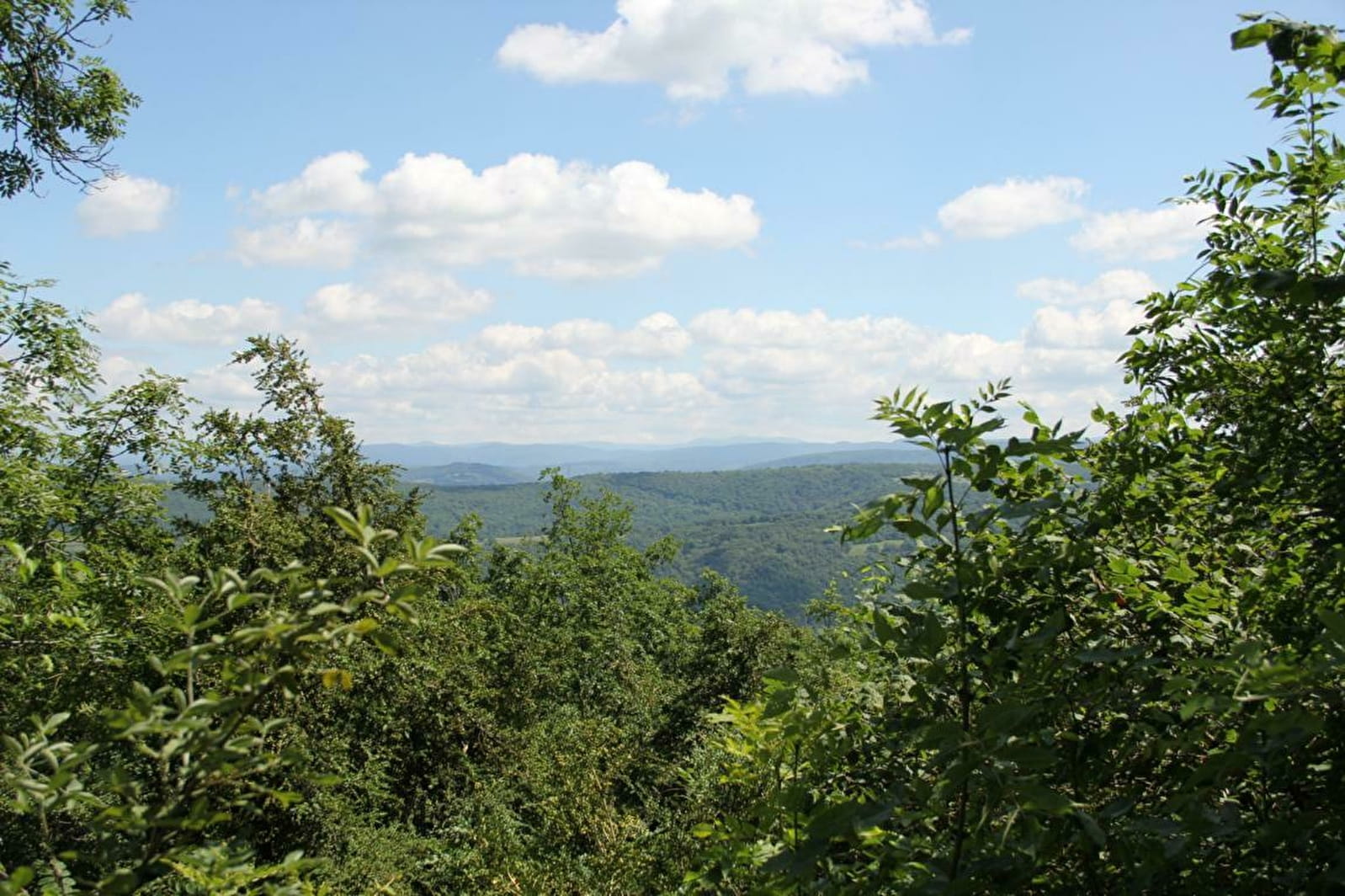
Mont Nivigne
Highest point of the Revermont - 768 m.
Puits de Nivigne : site of an old hamlet.
Signal de Nivigne: located between the Ain and the Jura, this place is full of history. This signal is well known to hikers, but very few really know its former functions. Indeed, it is a geodesic point, it allowed to measure the shapes and dimensions of the earth. It was built in 3 weeks in 1907 as one of fifty markers that were erected in the early 20th century. These were points secretly guarded by the army in the past. These mapped areas corresponded to the front zones. Today they have been abandoned due to the progress of aviation, there is only one left in the area, this one. This place is also a former camp for the maquisards during the Second World War.
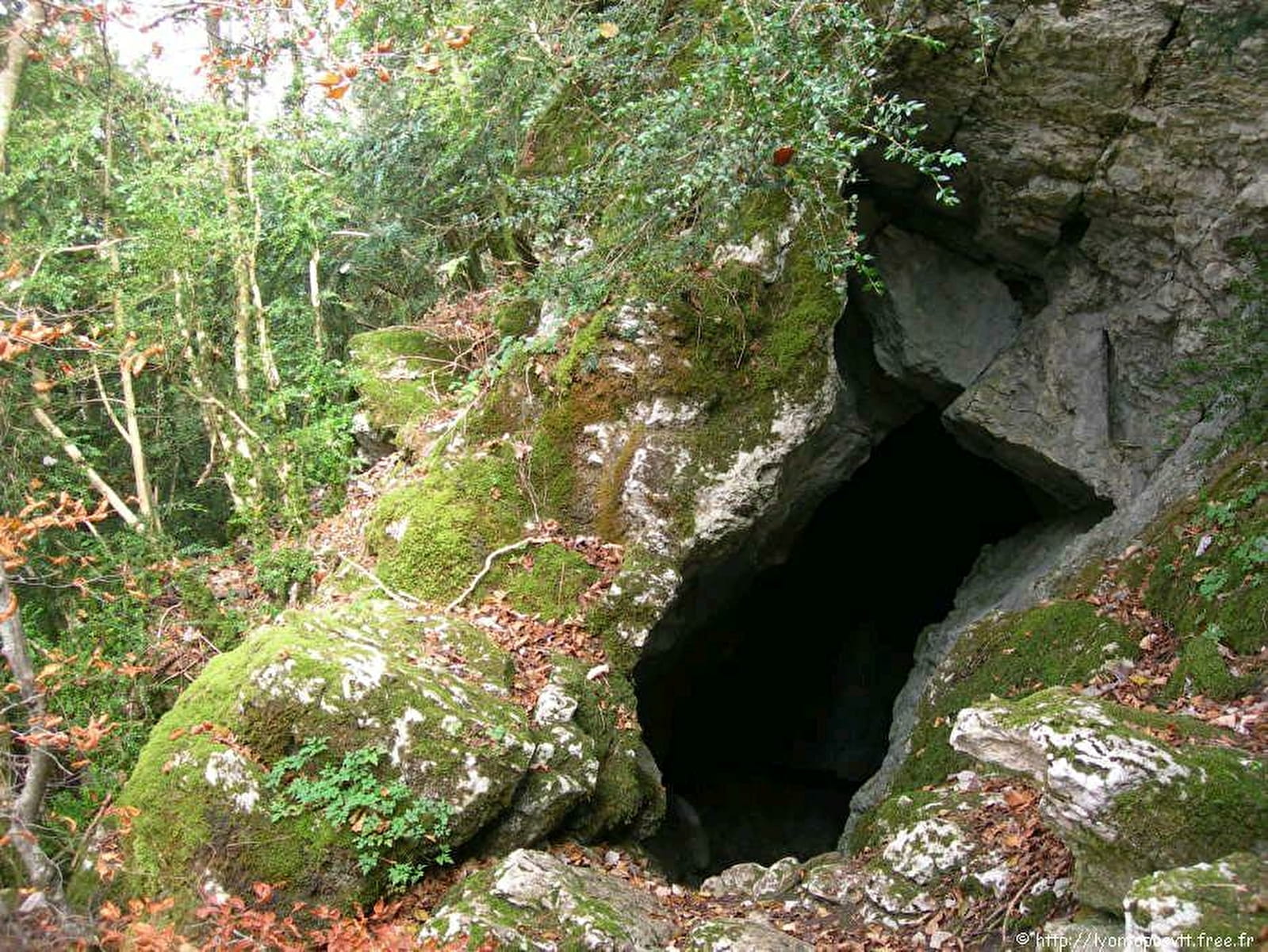
Grotte à l'Ours : Small cave facing west below the signal de Nivigne. Access by foot from Rosy, Cuisiat or Pouillat, the latter being the easiest.
- Pets not allowed