


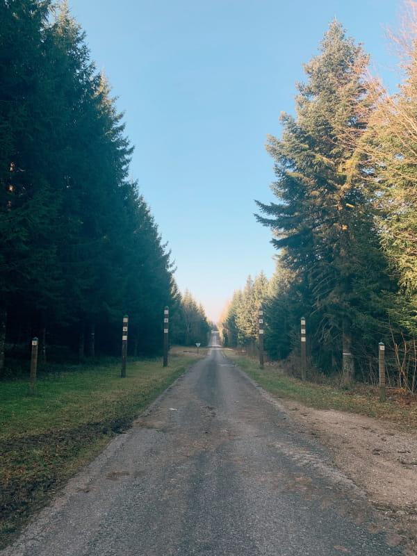
Route des Sapins
It links the town of LEVIER in the Doubs to that of CHAMPAGNOLE in the Jura and takes you into the heart of the most beautiful coniferous forests in Franche-Comté.
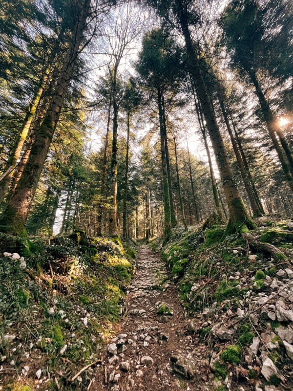
It is 50 km long and crosses 10,000 hectares of state or municipal forests in the Levier, Joux and Chapois massifs, which are the most prestigious fir forests in Europe in terms of the size of their trees: some of them are over 45 metres high and have a diameter of 1.20 m to 1.30 m.
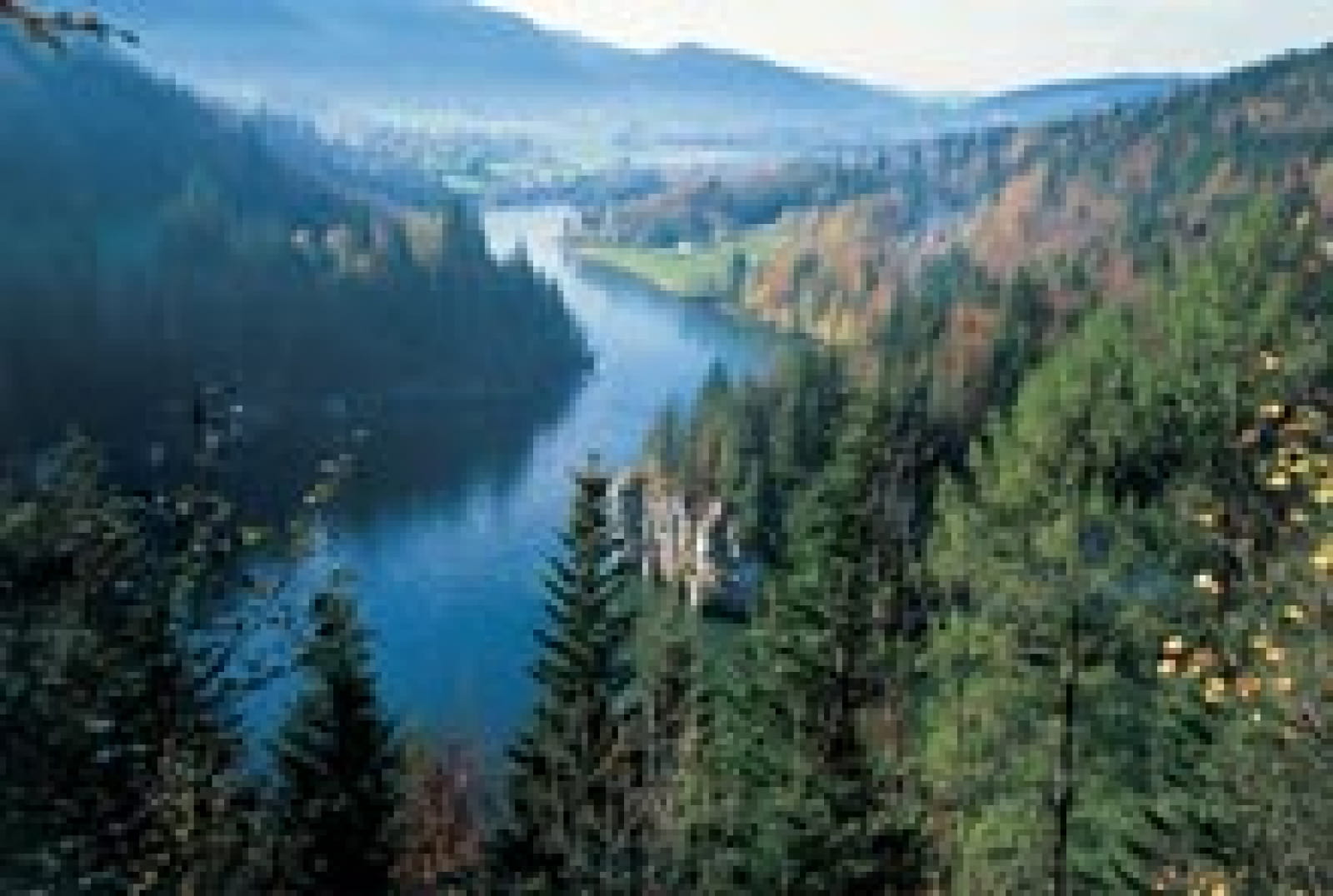
Finally, this route has the advantage of linking the two tourist areas of the Vallée de la Loue and the Vallée de l'Ain.
Numerous relaxation areas are available as well as original places of discovery.
Each stage has a particular theme, a car park and an information point.
From Levier to Champagnole :
- The spruces of the King of Rome
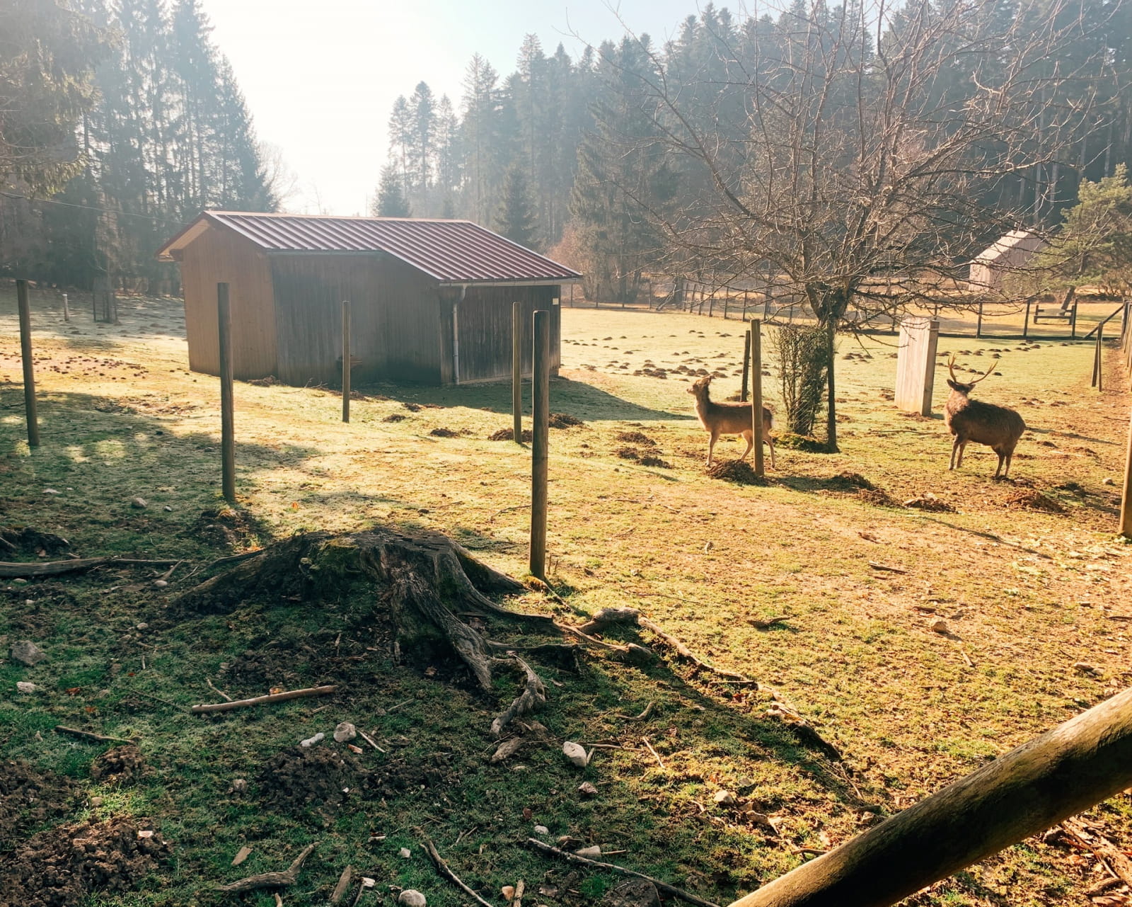
- Le Rondé (animal park, games, picnic area and walking trail)
- Forest discovery trail
- The Hyoche landscape
- Brassecouche
- Le Sapin Président de Levier
- Le Tartet (games and picnic area)
- Ancient passage of Chalamont
- Chemin neuf (games and picnic area)
- Belvedere of La Roche
- Viewpoint of Les Chérards
- Sapin Président de la Joux
- Rond des Chérards (playground and picnic area)
- Le Chevreuil (games and picnic area)
- La Glacière
- La Marine
- Rond des Trois Sapins
- The relic oak
- Belvedere of the Côtes de Chapois
- Chapois
- Fontenette (games and picnic area)
- Quatres Bornes woodland path
- Belvedere of the Signal
