


Natural Site
Cascade de la Queue de Cheval
Discover the Queue de Cheval waterfall
Return path
Saint-Claude
Time: 1h to 2h30
Distance: 2.6km to 5km
Difference in altitude: +70m to +160m
Yellow markings
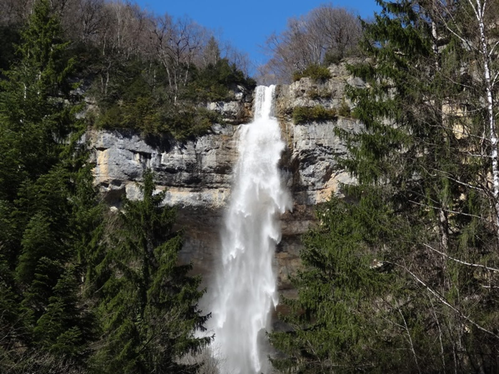
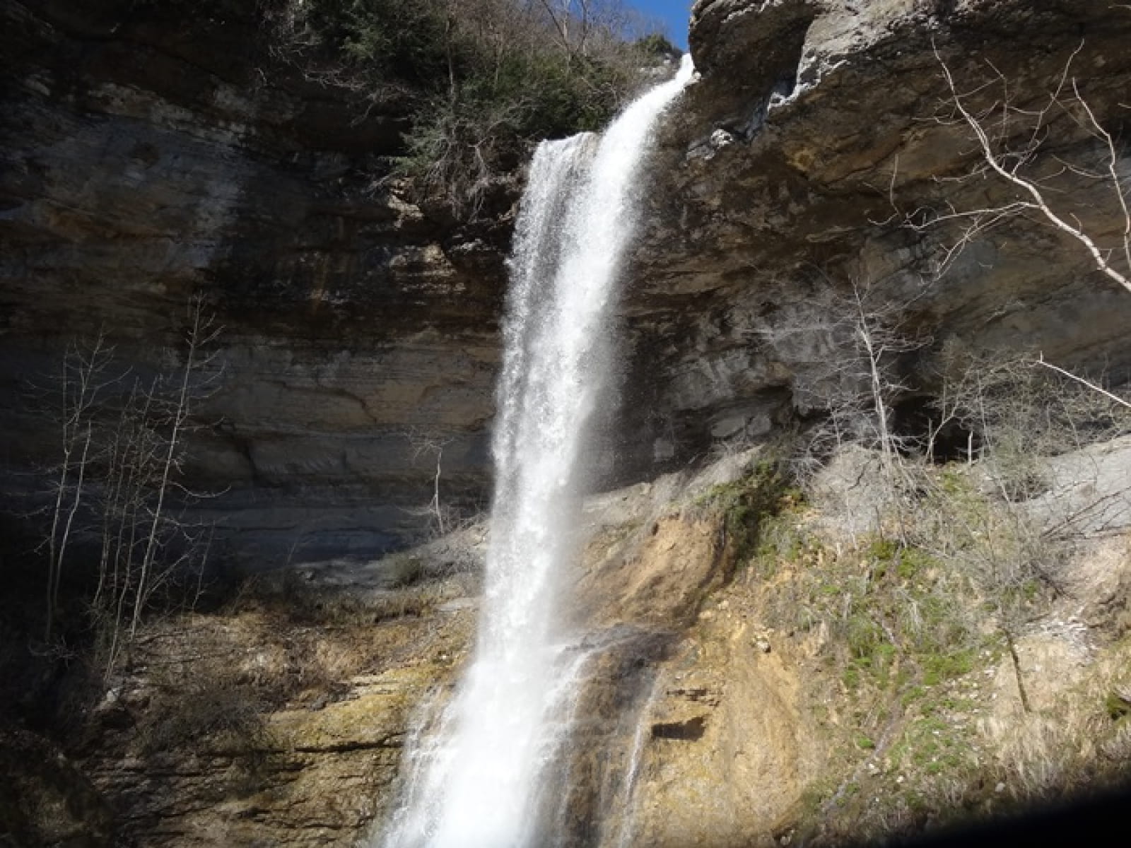
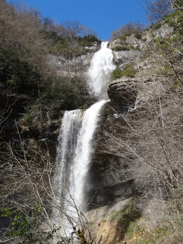
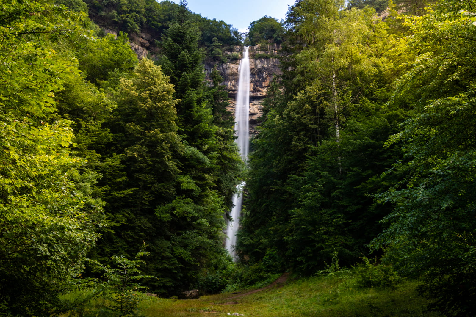
This is one of the most beautiful waterfalls in the Haut-Jura. A well-maintained path through fields and forest leads to the site. The waterfall has a vertiginous
giving it a slender shape reminiscent of a horse's tail, hence its name. It crosses a 60 m drop in two leaps.
Access via Chaumont 1h - 2.6 km - gradient +70m
Go as far as the village of Chaumont (RD304), 3 km from Saint-Claude. Just after the chapel visible from above, the car park is on the right at the top of a small hill. The path starts here.
GPS coordinates :
latitude: N 46.3883773 longitude E 5.8859491
Access via Serger 2h30 - 5 km - difference in altitude +160 m
Go as far as the Serger stadium. From the car park, take the Rue de la Fontaine aux Oiseaux, then the path leading uphill. Follow this path and the markings to the waterfall. Along the way, you can see the queue d'âne waterfall below.
GPS coordinates :
latitude / N 46.378440 longitude E 5.876659
We tell you more
