La cascade du Bief de la Chaille et le pont Perroud
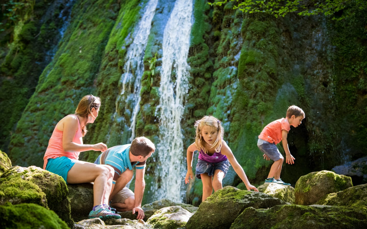
The Pont Perroud (880m) and the Bief de la Chaille (1050m) are located between the villages of Les Rousses and Prémanon. In a pleasant and refreshing setting, the hiking trails will lead you to the waterfall. The old Perroud bridge and the old mill are witnesses of the importance of hydraulic energy in the Haut-Jura in the past. The Bief de la Chaille means in patois "the stream of the breach".
A little history
The driving force of the rivers: the numerous ruins you will come across bear witness to the intense activity that reigned here in the past. Upstream from the Pont Perroud you can see the old dam, and downstream the Chaille which flows into the gorge. The ruins of the dams and mills bear witness to the will of men to regulate the river and to exploit its energy. As early as the High Middle Ages, the peasants of the Haut-Jura turned to ironworking, mainly nail-making, as a complementary activity. However, it was not until the 16th century that this activity began to use the hydro-motor power of the rivers to develop production. The oldest concession of "decours d'eau" archived by the Abbey of Saint Claude - which rented the land to the farmers - dates back to 1597, and mentions a mill located on the Bief de la Chaille. However, the sometimes very variable flow of the watercourses of the Haut-Jura, often insufficient to drive large machines, did not allow the development of a real metallurgical industry as in the rest of the Franche-Comté. Not to mention that the scarcity of wood due to its overexploitation, which seems difficult to imagine when you see the forests of the Jura today, made heating the forges more difficult.
Geography & Environment :
The water, as it travels long distances across the Jura plateau, becomes loaded with limestone, by dissolving the rock. When this water reappears in the open air, the dissolved limestone forms a new rock at the foot of the waterfall, trapping the moss in the minerals it contains: tuff. This porous and light rock was used in the past to insulate chimney flues. This stream will end its course in the Mediterranean, after having flowed into the Biel, the Ain and the Rhone.
Access and hiking :
Three marked walking routes are available to discover this viewpoint. The circuit cards are available for purchase at the Tourist Office or for download:
Hiking form n°20 (10 km from Les Rousses) : http://www.openrunner.com/index.php?id=1835522
Hiking form n°10 (8 km from Prémanon) : http://www.openrunner.com/index.php?id=2054533
Hiking form n°11 (8 km from Prémanon) : http://www.openrunner.com/index.php?id=1835507
If you want to go to the waterfall without walking too much, it is possible to park your car at about 500m. Take the Bief de la Chaille road by car and park near the intersection of the hiking trails "Route du Bief 1060m" (GPS coordinates: 46.46402 / 6.055115).


