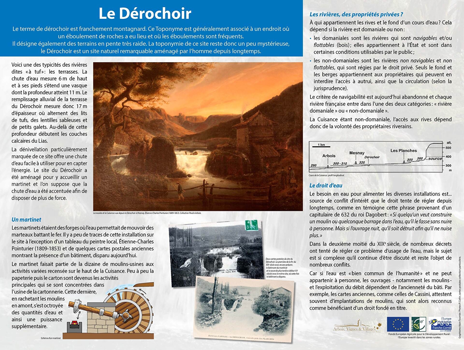
Le Dérochoir
SWIMMING STRICTLY PROHIBITED
Warning: the site can be dangerous and the ground slippery.
Located in the Natura 2000 area: La Reculée des Planches
ABOUT US
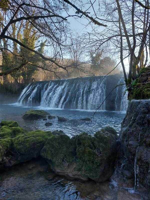
The Dérochoir dam on the Cuisance river, a tributary of the Loue, used to supply the old Mesnay cardboard mill.
The term dérochoir is distinctly mountainous. This toponym is generally associated with a place where there has been a rockfall and where rockfalls are frequent. It also refers to very steep slopes. The toponymy of this site therefore remains somewhat mysterious, as the Dérochoir is a remarkable natural site that has long been man-made.
This is one of the typical features of tufa rivers: the terraces.
The particularly steep gradient of this site offers a waterfall that is easy to use to harness its energy. The Dérochoir site was built to house a martinet (a forge where water was used to move iron-beating hammers) and it is assumed that the waterfall was accentuated in order to harness more power.
PRACTICAL
There is a car park with three spaces just a few metres away.
HIKING IDEA
La Reculée des Planches - 13.8 km - 4h30 - 387m positive. Start from the Champ de Mars in Arbois > Ermitage > Belvédère du Fer à Cheval>Reculée des Planches>Arbois
Hiking form available for €1 from the Arbois Poligny Salins Coeur du Jura Tourist Office.