


Natural Site
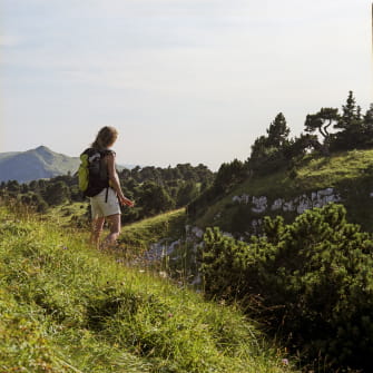
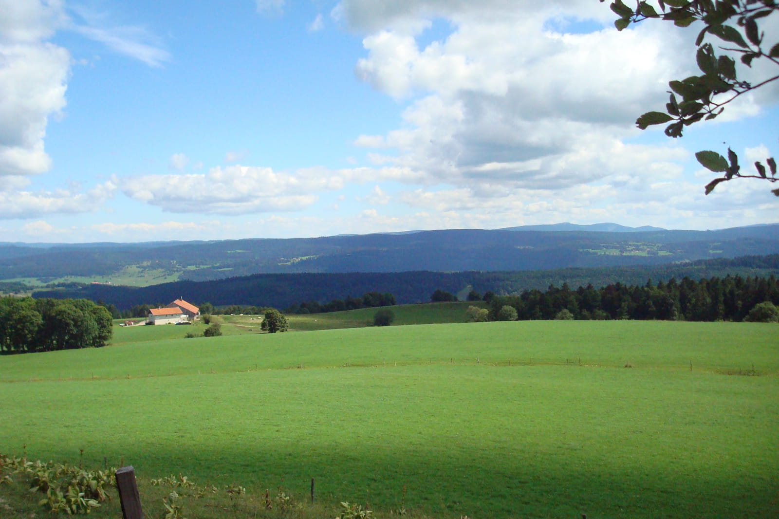
Crêt Monniot
Highest point of the canton of Montbenoît.
Panoramic view and orientation tables on the Loue Valley, the Jura Plateaux and the Alps. Interpretation trail on the theme of water (5 km) starting from the former Auberge du Crêt Monniot.
Access by car via La Chaux, Gilley or Arc-Sous-Cicon.
Prices & Schedules Opening :
From 18/09/2025 to 31/12/2050

Brochures edited by Montagnes du Jura
We tell you more