


Foot
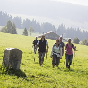
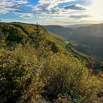
Roche Devant and Grand Remblai BELLEFONTAINE17.3 Km
1h456.9 Km
Foot
Les Essarts path SAONE20394 Km
Foot
The Grande traversée du Jura on foot - GTJ pédestre MANDEURE12.14 Km
Foot
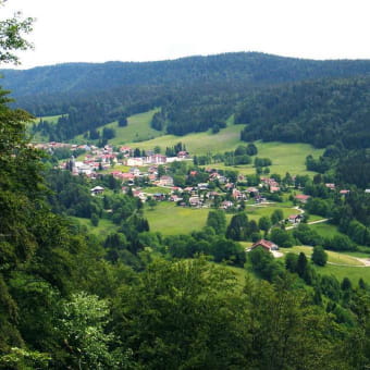
The Three Villages LE MOUTHEROT610 Km
Foot
GR® 59: from the southern Vosges to the Jura foothills LEPUIX1h053.1 Km
Foot
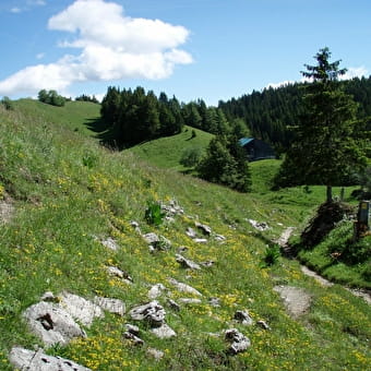
Nacra loop MONTFAUCON5.9 Km
Foot
Direct access to La Roche Devant BELLEFONTAINE230 Km
Foot
Sentier des gabelous ARC-ET-SENANS9 Km
Foot
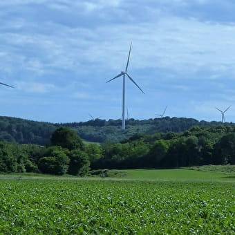
Fontenelle-Montby wind turbine discovery trail FONTENELLE-MONTBY577 Km
Foot
Smuggling routes - La Bricotte MAICHE1.9 Km
Foot
Direct access to the Madonna MORBIER1h30
Geocaching, Foot
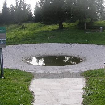
La Lavogne LES FONTENELLES11.5 Km
Foot
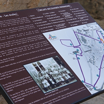
Choisey heritage trail CHOISEY3h3014 Km

Foot
Dame Blanche and Vieux Tilleul BESANCON2h30
Geocaching, Foot
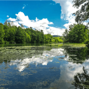
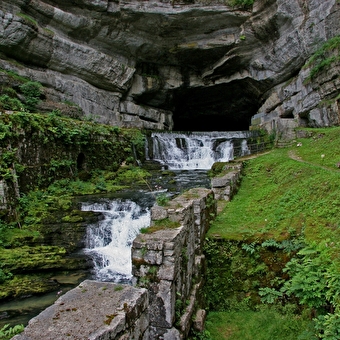
Source de la Loue OUHANS2h006.4 Km
Foot
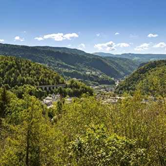
Fort de Bregille tour BESANCON3h10 Km
Foot
Bois des Cantons circuit MONTBELIARD1h
Foot
The Square Tower PIERREFONTAINE-LES-BLAMONT2h458.3 Km
Foot
On the lands of Désiderius SAINT-DIZIER-L'EVEQUE1h30
Geocaching, Foot
The Montpetot Chapel LA CLUSE-ET-MIJOUX2h306.2 Km
Foot
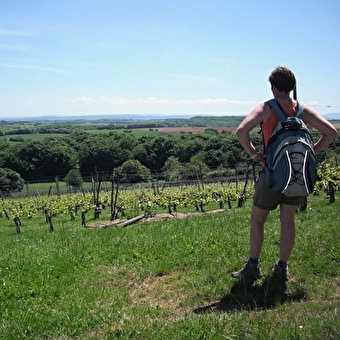
In the footsteps of Frédéric Japy BEAUCOURT9 Km
Foot
Three Rocks Circuit HAUTS DE BIENNE6.6 Km
Foot
Direct access to the Cuvet LONGCHAUMOIS5.91 Km
Foot
Bois Bourgeois circuit MONTBELIARD