


Geocaching, Foot
Ladders of Death
CHARQUEMONT 2h30
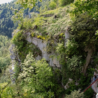
5.41 Km
Foot
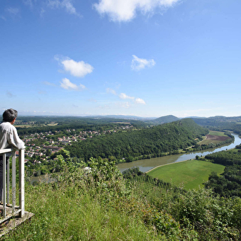
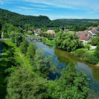
Notre Dame du Mont path
THORAISE 3.56 Km
Foot
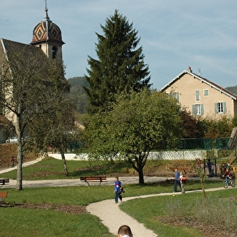
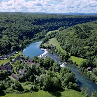
Heritage Trail
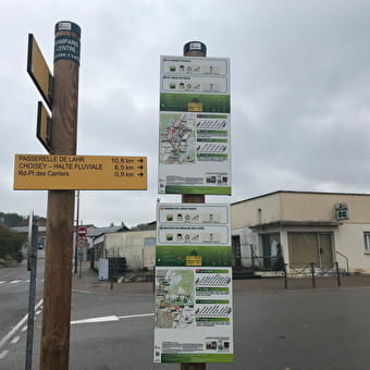
DELUZ 10.16 Km
Foot
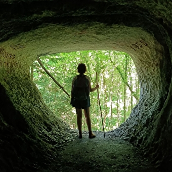
Circuit de la Tante Arie
BLAMONT 2h30
Geocaching, Foot
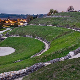
The Roman theatre
9 Km
Gravel, Foot, Mountain biking
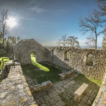
Walls and Whispers
CHENECEY-BUILLON 3.95 Km
Foot
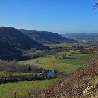
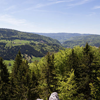
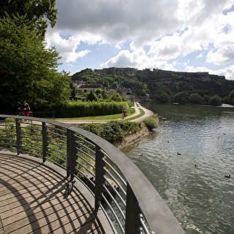
The Thuyère viewpoint
MONTGESOYE 5 Km
Foot, Mountain biking
La Vouivre à la Trace
CHENECEY-BUILLON 2h
Geocaching, Foot
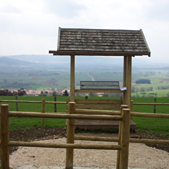
Le Peu lookout
LAVIRON 5.03 Km
Foot
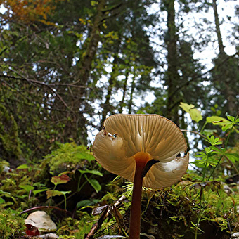
The Mont Noir forest
LAC-DES-ROUGES-TRUITES 8.43 Km
Foot
Grand Goulet and Three Gossips
MORBIER 10.66 Km
Foot
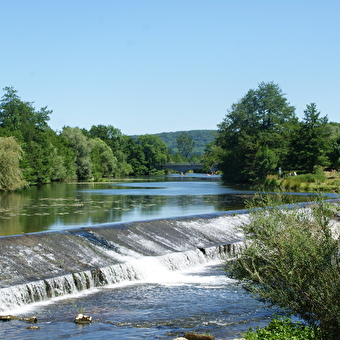
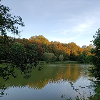
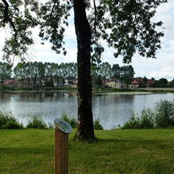
Walking trail - The banks of the Ognon at Rougemont
ROUGEMONT 5.14 Km
Foot
Cliffs and Castle Trail
MONTFAUCON 9.2 Km
Foot
Biodiversity along the Via Francigena
BESANCON 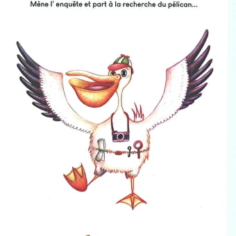
Foot
The Pelican
ARBOIS 9.53 Km
Foot
Princes Ponds circuit
SAINT-JULIEN-LES-MONTBELIARD 2h3011 Km
Foot
Rando04_le roulanais
ROULANS 2h459 Km
Foot
Coutelot path
Thise ou Braillans 1h
Geocaching, Foot
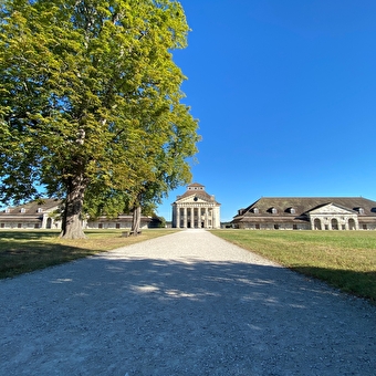
The Royal Saltworks
ARC-ET-SENANS 4.05 Km
Foot
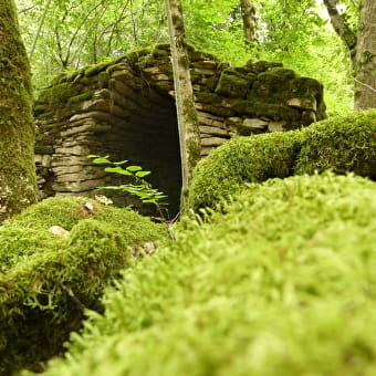
La Roche au corbeau
GRAND'COMBE-CHATELEU 7.4 Km
Foot
Belvoye du moulin aux cités
DAMPARIS 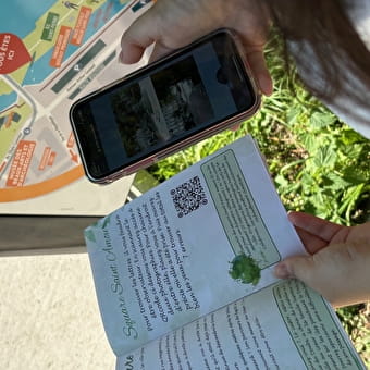
Foot
The treasure of the Templars - a fun, eco-tourist trail through Besançon
BESANCON 3 Km
Foot
Dry stone path
LA MARRE 3.47 Km
Foot
Le sentier drugeon et dragon
LA RIVIERE-DRUGEON