


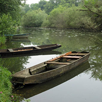
Foot
The paths of contraband - L'Orlogeur
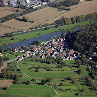
MORTEAU 560 Km
45 mn
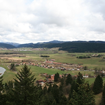
Geocaching, Foot
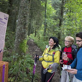
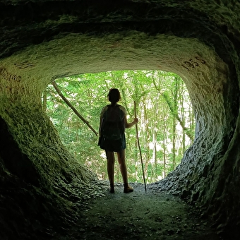
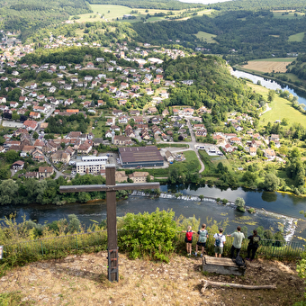
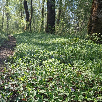
The point of view of Time
REUGNEY 1h457.5 Km
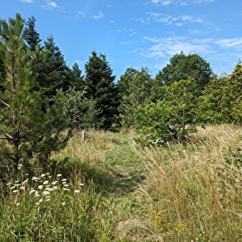
Foot
Fonteny path
NANCRAY 3h10 Km
Foot
Walking route 1: Mandeure
MANDEURE 4.5 Km
Foot
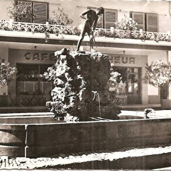
The Ornans fountains trail
ORNANS 2h158.6 Km
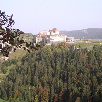
Foot
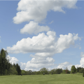
Golf trail
LA CHEVILLOTTE 5.03 Km
Foot
Mount Guérin
FRASNE-LES-MEULIERES 6.5 Km
Foot
Parthey loop
TAVAUX 10.16 Km
Foot
Circuit de la Tante Arie
BLAMONT 10.07 Km
Foot
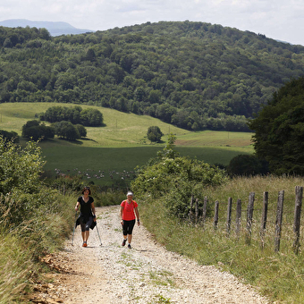
Grande Boucle de Fontain
FONTAIN 1h
Geocaching, Foot
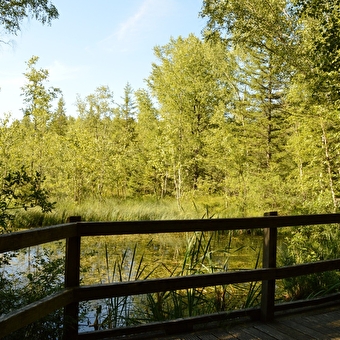
Peat bogs
FRASNE 1h305.3 Km
Foot
Moulin vermoret walking loop
BAUME-LES-DAMES 5.9 Km
Foot
Palise path
PALISE 2h
Geocaching, Foot
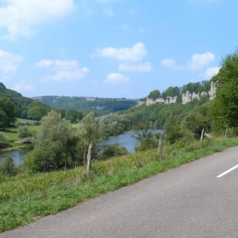
Mount Châteleu
GRAND'COMBE-CHATELEU 10.8 Km
Foot
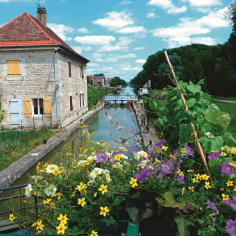
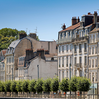
From the Chemin de la République to the Doubs
BAUME-LES-DAMES 2h308.1 Km

Foot
The Lady in White
BESANCON 2h30
Geocaching, Foot, Ski
The view from Les Granges
PONTARLIER 8.71 Km
Foot
The Three Doors circuit
CHALEZE 8.62 Km
Foot
Walking loop - chatard cross
BAUME-LES-DAMES 11 Km
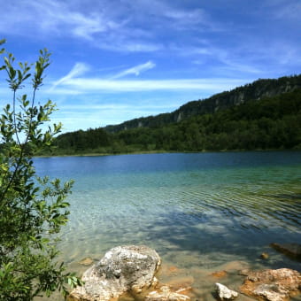
Foot
Hiking around the "4 lakes"
LA CHAUX-DU-DOMBIEF 7.32 Km
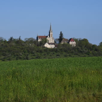
Foot
Mount Roland
SAMPANS 2.07 Km
Foot
Sinkholes
OUGNEY-DOUVOT 2.7 Km
Foot
Parcours fleches, circuit battant
16.5 Km
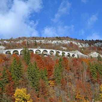
Foot
Cluses and viaducts of Morez
MORBIER