


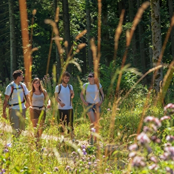
Foot
The Pelican
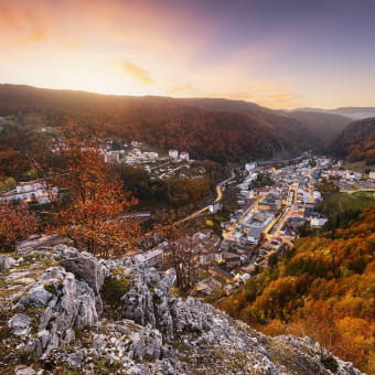
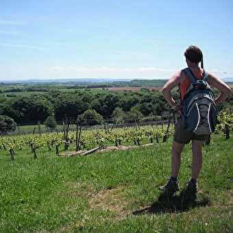
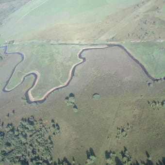
ARBOIS 
3.95 Km
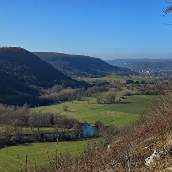
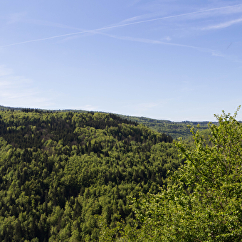
Foot
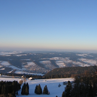
The Thuyère viewpoint
MONTGESOYE 7.7 Km
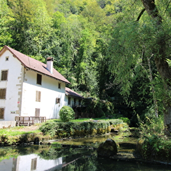
Foot
Moulin de la Doue circuit
GLAY 8.4 Km
Foot
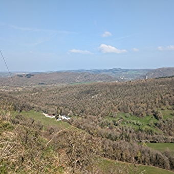
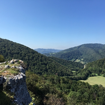
Walking loop - on the crests
CHAMPLIVE 3 Km
Foot
Bourbaki Circuit
BETHONCOURT 2h30
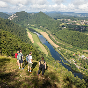
Geocaching, Foot
On the Rock
VILLERS-LE-LAC 6 Km
Foot
Mount guillon walking loop
GUILLON-LES-BAINS 1h30
Geocaching, Foot
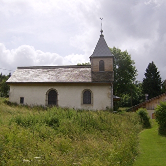
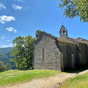
The Montpetot Chapel
LA CLUSE-ET-MIJOUX 
Foot
Geobaliz snowshoe trail
SAINT-LAURENT-EN-GRANDVAUX 15.2 Km
Foot
Three Rocks Circuit and Repenty Belvedere
HAUTS DE BIENNE 30 mn
Geocaching, Foot
La Boissaude
ROCHEJEAN 3h1510 Km
Foot
Mont-Bart circuit
6.95 Km
Foot
Larnod discovery trail
LARNOD 12.14 Km
Foot
The Three Villages
LE MOUTHEROT 4.4 Km
Foot
The chapel of Saint Romain
LAVANS-LES-SAINT-CLAUDE 6116.74 Km
Foot
GR de Pays des Bornes et des Forts du Pays de Montbéliard
MONTBELIARD 3.4 Km
Foot
Les Myrtilles
HAUTS DE BIENNE 0,071 Km
Foot
Le sentier de l'eau
VAUX-ET-CHANTEGRUE 
Foot
The false orchard
MAICHE 3.94 Km
Foot
The cookers
MORBIER 16.8 Km
Foot
Lookouts in Morez
HAUTS DE BIENNE 17.98 Km
Foot
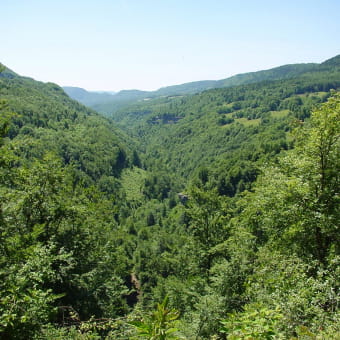
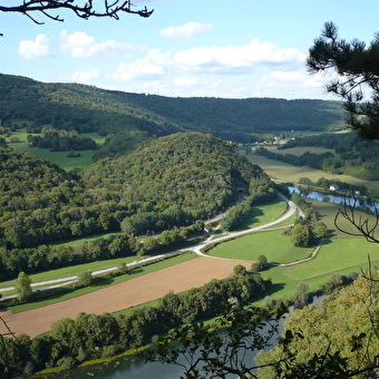
Circuit randonnée : entre doubs et cusancin
VILLERS-SAINT-MARTIN 5 Km
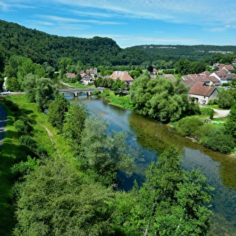
Foot, Mountain biking
La Vouivre à la Trace
CHENECEY-BUILLON 470 Km
Foot
The Via Cluny in the Jura Mountains
PAYERNE