


Geocaching, Foot
La Lavogne
LES FONTENELLES 1h30
3.4 Km
Foot
Les Myrtilles
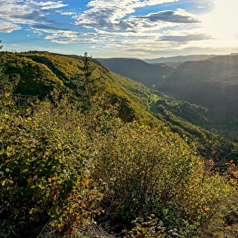
HAUTS DE BIENNE 9 Km
Gravel, Foot, Mountain biking
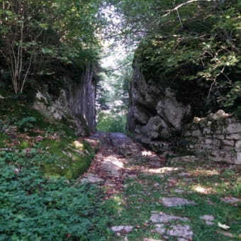
Walls and Whispers
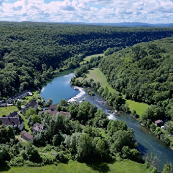
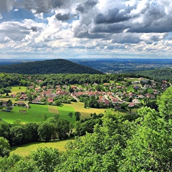
CHENECEY-BUILLON 11.69 Km
Foot
The Rompeux Tour
EMAGNY 2h30
Geocaching, Foot, Ski
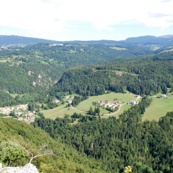
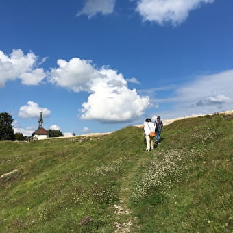
The view from Les Granges
PONTARLIER 5.48 Km
Foot
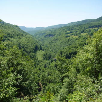
Le sentier du berger des vaches
VAUX-ET-CHANTEGRUE 1h305.7 Km
Foot
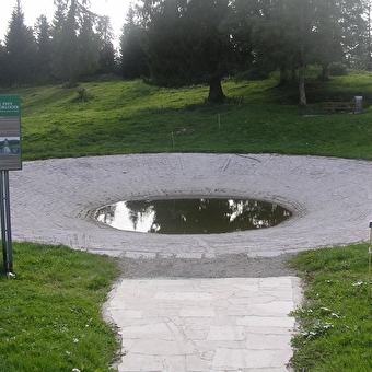
La Fontaine des Acacias
BESANCON Forêt de Chailluz 14.75 Km
Foot
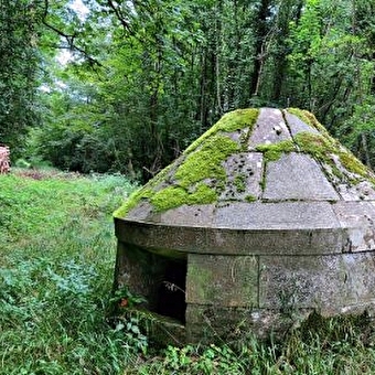
Circuit de Brisepoutot Batterie des Roches
PONT-DE-ROIDE-VERMONDANS 4.27 Km
Foot
Sentier des Crêtes
VORGES-LES-PINS 3.38 Km
Foot
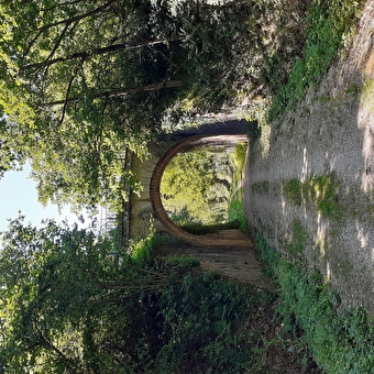
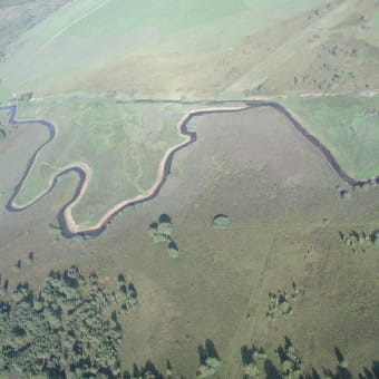
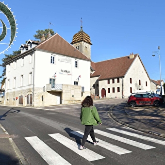
Circuit de randonée pédestre - valleroy et les berges de l'ognon
VALLEROY 0,071 Km
Foot
Le sentier de l'eau
VAUX-ET-CHANTEGRUE 1h456.9 Km
Foot
Les Essarts path
SAONE 8.43 Km
Foot
Grand Goulet and Three Gossips
MORBIER 2 Km
Foot
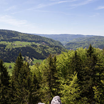
Repenty Belvedere
LONGCHAUMOIS 9.32 Km
Foot
Sentier du Ruisseau
BOUSSIERES 1h30
Geocaching, Foot
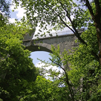
The Devil's Bridge
CROUZET-MIGETTE 610 Km
Foot
GR® 59: from the southern Vosges to the Jura foothills
LEPUIX 16.5 Km
Foot
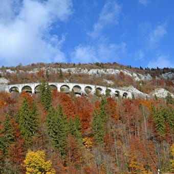
Cluses and viaducts of Morez
MORBIER 1h30
Geocaching, Foot
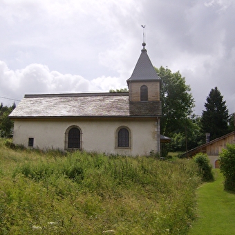
The Montpetot Chapel
LA CLUSE-ET-MIJOUX 1h
Geocaching, Foot
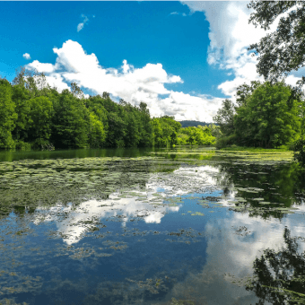
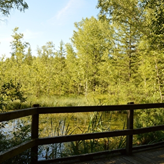
Peat bogs
FRASNE 6.6 Km
Foot
Direct access to the Cuvet
LONGCHAUMOIS 0,5H 2 Km
Foot
Le sentier du passage antique de chalamont
BOUJAILLES 3h10 Km
Foot
Walking route 1: Mandeure
MANDEURE 7.32 Km
Foot
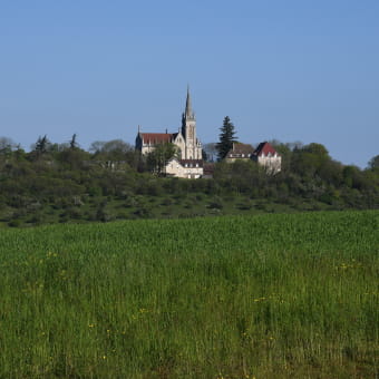
Mount Roland
SAMPANS