


Foot
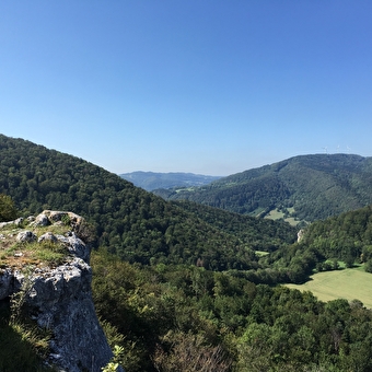
GR de Pays des Bornes et des Forts du Pays de Montbéliard
MONTBELIARD 6116.74 Km
2h30
Geocaching, Foot
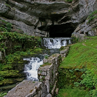
Source de la Loue
OUHANS 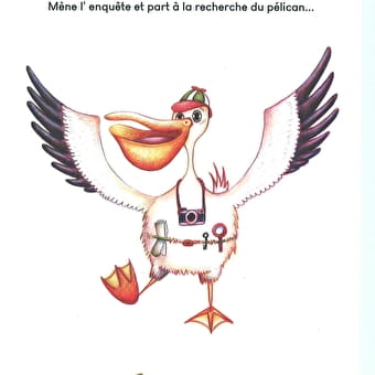
Foot
The Pelican
ARBOIS 5126.32 Km
Foot
The Via Francigena in the Jura Mountains
CUSSEY-SUR-L'OGNON 4.21 Km
Foot
Circuit de randonnée pédestre - sous-buen
BAUME-LES-DAMES 5.91 Km
Foot
Bois Bourgeois circuit
MONTBELIARD 2 Km
Foot, Ski, Cross-country skiing, Nordic ski touring
Activity track - Nanchez
NANCHEZ 1h30
Geocaching, Foot
La Lavogne
LES FONTENELLES 7.5 Km
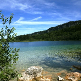
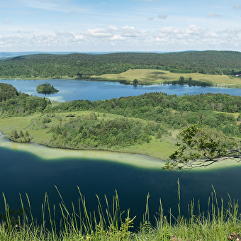
Foot
Tour of the 3 lakes
LE FRASNOIS 610 Km
Foot
GR® 59: from the southern Vosges to the Jura foothills
LEPUIX 70 Km
Foot
D'une Joux à l'Eau "tre" - 5-day itinerary
SAINT-LAURENT-EN-GRANDVAUX 8.5 Km
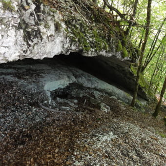
Foot
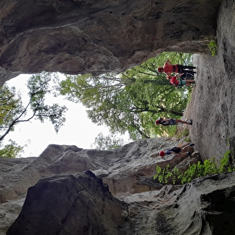
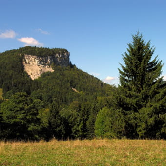
The Saracen Cave
LONGCHAUMOIS 3.95 Km
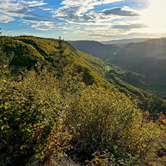
Foot
The Thuyère viewpoint
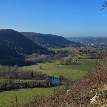
MONTGESOYE 7.92 Km
Foot
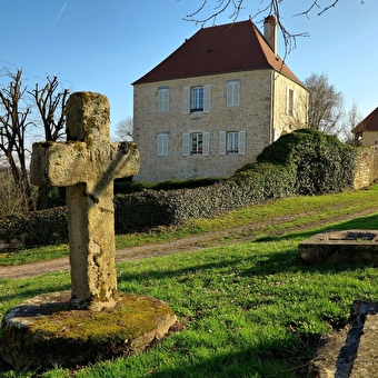
Le Moulin des Vaux
GREDISANS 3.94 Km
Foot
The cookers
MORBIER 
Foot
The Master of Secrets
SALINS-LES-BAINS 11 Km
Foot
Mont Fier
LONGCHAUMOIS 6.6 Km
Foot
Sentier du Chêne Président
NANCRAY 2h
Geocaching, Foot
The Button War
LANDRESSE 21 Km
Foot, Mountain biking
The Tacot hike - 2 days touring
SAINT-LAURENT-EN-GRANDVAUX 3h10 Km
Foot
Walking route 1: Mandeure
MANDEURE 3.9 Km
Foot
Corbière belvedere
LONGCHAUMOIS 6.6 Km
Foot
Direct access to the Cuvet
LONGCHAUMOIS 2h005.7 Km
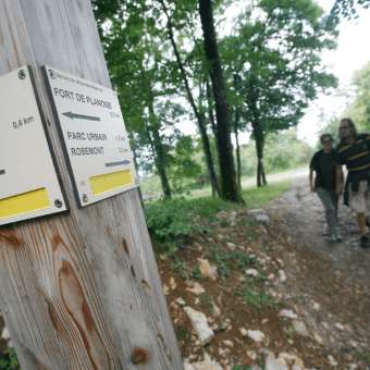
Foot
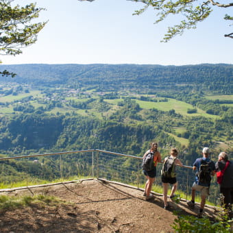
Planoise circuit
BESANCON