The Via Francigena: hiking trail to Rome via the Jura Mountains
Set off along the Via Francigena long-distance hiking route, and one of the oldest pilgrimage routes to Rome. The European Council has recognised this route as a 'European Culture Route' and the 3,000-km trail between Canterbury and Rome includes a 90-km section through the Jura Mountains. From Champlitte to Jougne on the Swiss border, you'll be walking in the footsteps of Sigeric, archbishop of Canterbury. This spirutual hike is brimming with historic sites and natural landscapes to see along the way.
Choosing to walk along the Via Francigena, you'll be satisfying a need to re-energise, experience something new, meet new people and embrace core values, while exploring French heritage sites.
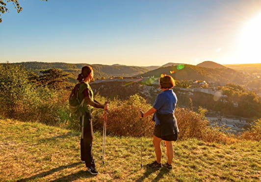
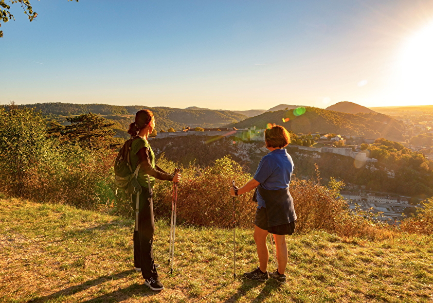
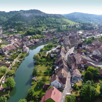
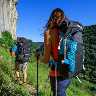
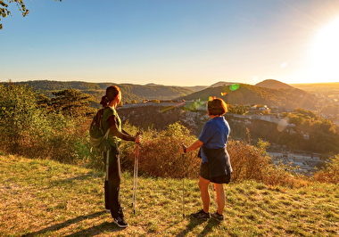
Randonnée pédestre à Besançon
Alain DOIRE / Bourgogne-Franche-Comté Tourisme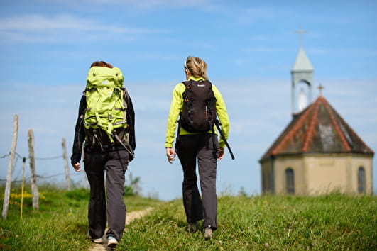
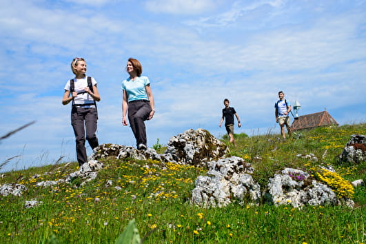
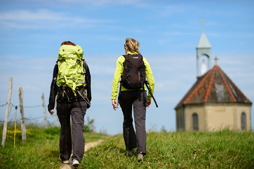
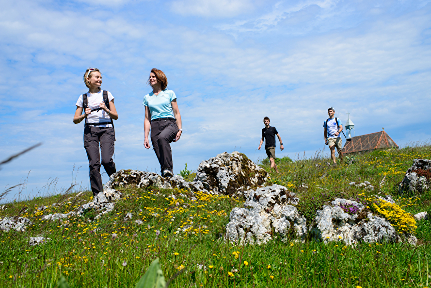
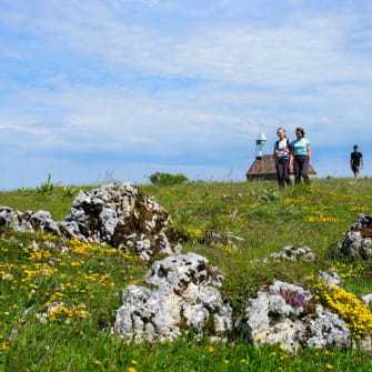
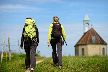
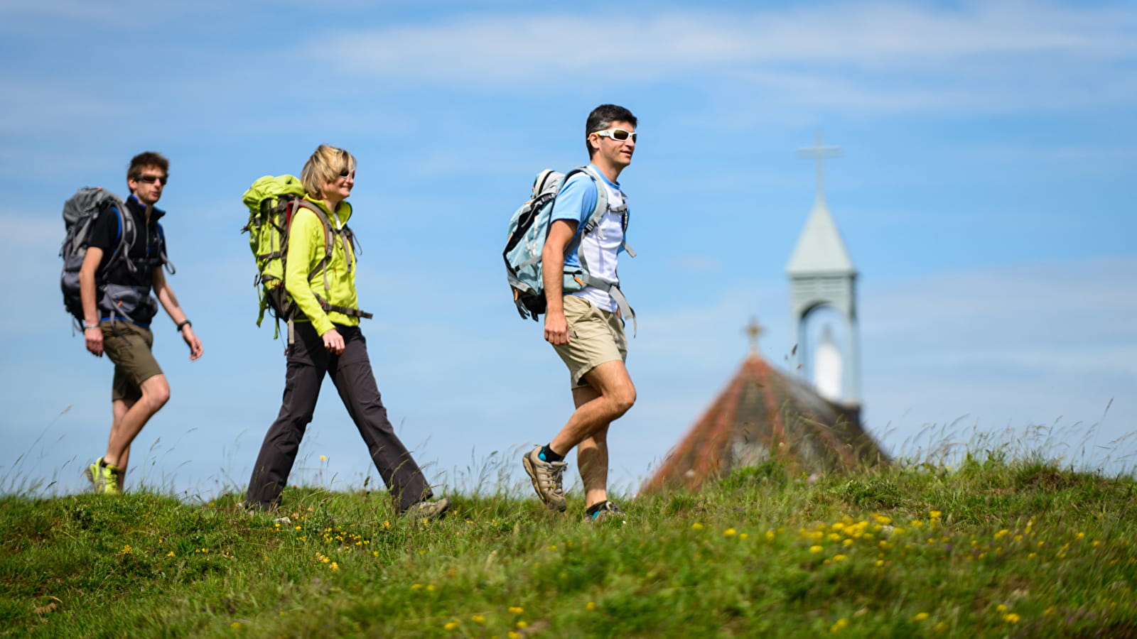
La chapelle du Tourillot, Les Fourgs
Michel JOLY / BFC Tourisme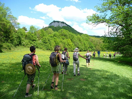
Walk to Rome along the GR® 145
As the proverb says, "All roads lead to Rome". That is exactly the goal of the Via Francigena - meaning 'the road that comes from France' - which linked Canterbury to the eternal city in the Middle Ages.
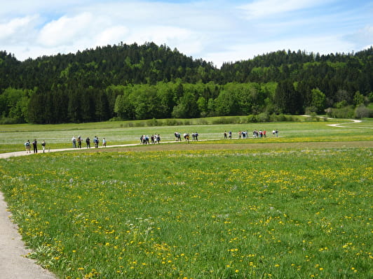
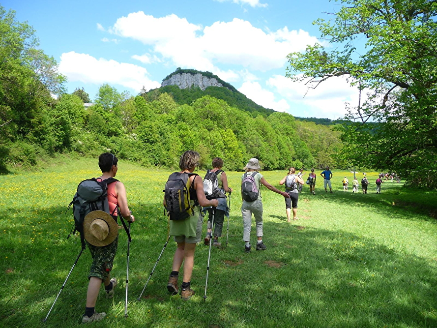
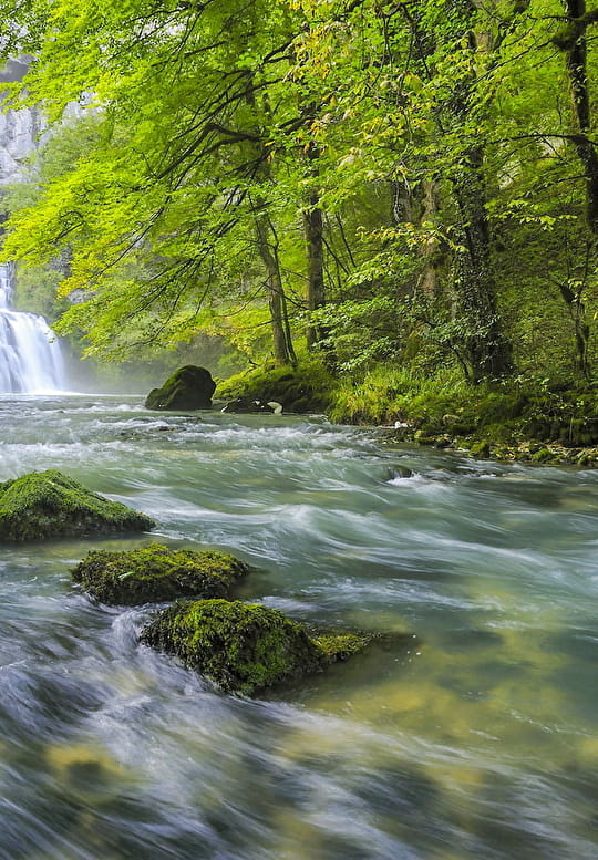
This route includes rural roads with very little traffic, footpaths with stones or grass underfoot, in the shade of fragrant pine trees, mountain footpaths leading to viewpoints with endless scenery, etc. You'll be walking along the most ancient routes of this spiritual journey, that have been shaped by many a pilgrim over the years.
The official Via Francigena route is the safest and easiest route without any technical difficulty, and designed to be suitable for everyone and for all ages.
Explore and learn as you walk
From the banks of the Saône to the Swiss border, via Besançon, Ornans and Les Fourgs, there are so many historic and cultural discoveries to make along this route.
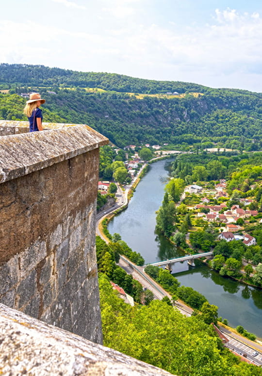
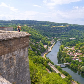
Take the time to climb up to Vauban's magnificent Citadel of Besançon, a UNESCO site. Behind the walls of this citadel, you can expect some fantastic cultural experiences and there are also lots of animals to see.
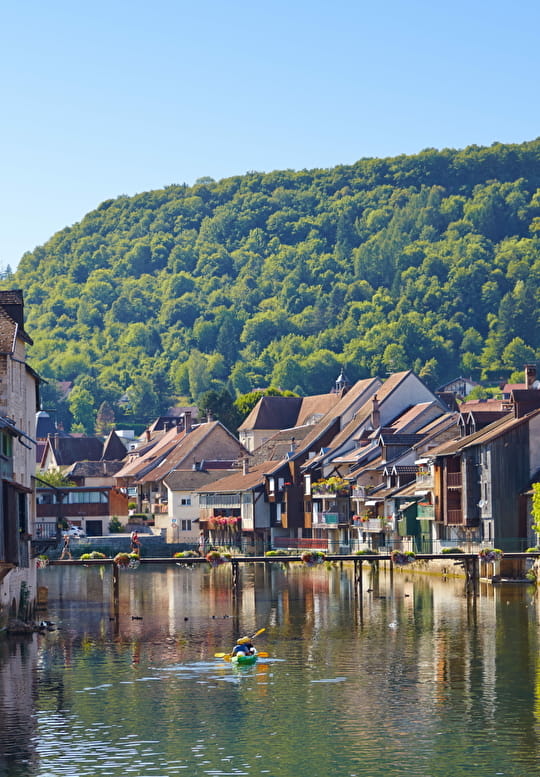
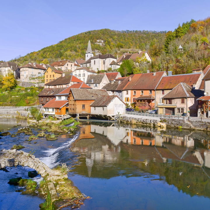
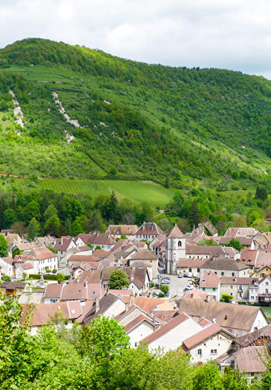
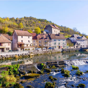
In Ornans, you'll feel the presence of famous French painter Gustave Courbet throughout his hometown. There's a museum, walks and a house/workshop, all in his name. Stroll around the picturesque 'Little Venice of Comté'.
Walk alongside the Loue and explore some pretty towns bearing the 'Cités de Caractère' label, where time seemingly stands still.
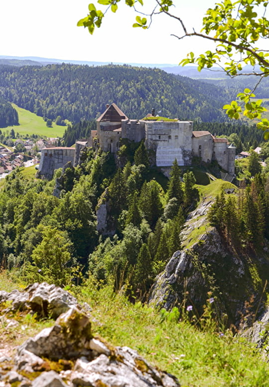
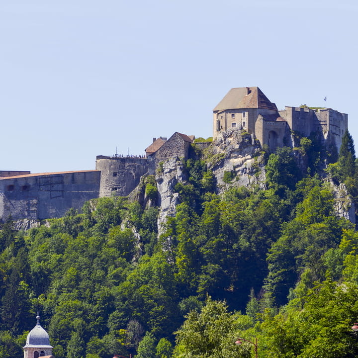
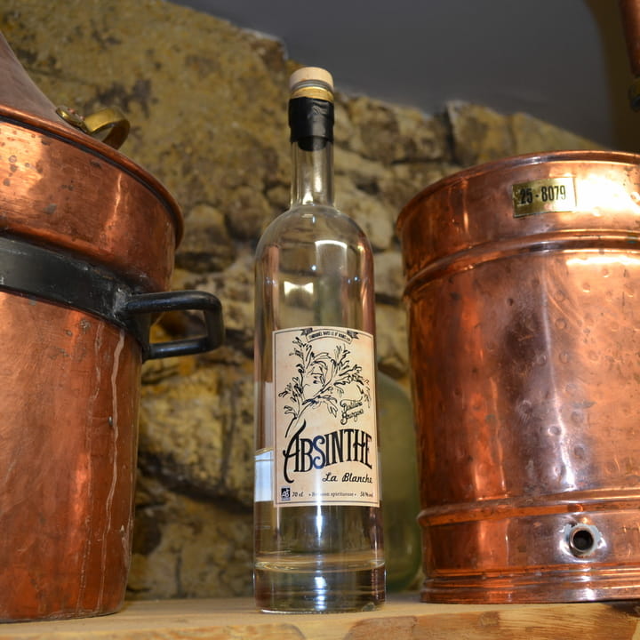
In Pontarlier, capital of the Haut-Doubs, you'll learn all about the history of absinthe. This is where the last section across the Jura mountains begins. On the way, you'll pass by the impressive Château de Joux perched up on a rocky outcrop, which was once the customs checkpoint for the Via Francigena.
Re-energise in the midst of beautiful scenery
From the countryside of the Haute-Saône dotted with canals and rivers, the route then leads up as far as Jougne mountain pass.
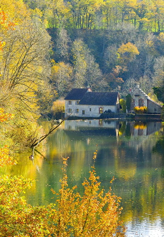
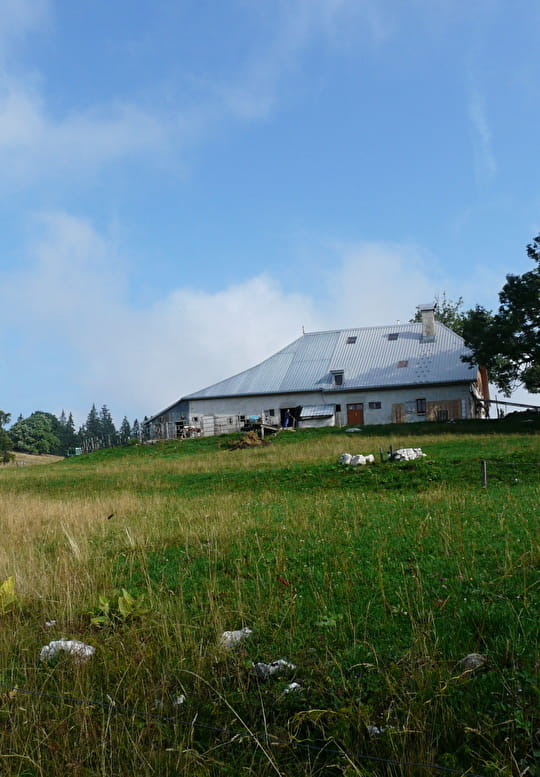
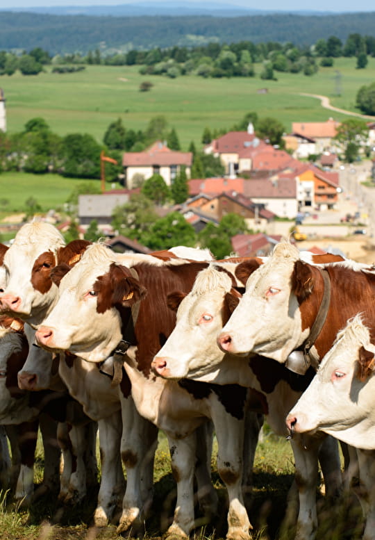
Along the way, you'll cross through the picturesque villages of the Vallée de la Loue and the mountainous terrain of the Haut-Doubs.
This wild but welcoming, vibrant and unspoilt environment is the ideal place to recharge your batteries.
"There are certain routes where we feel we're in another realm, disconnected from reality, connected with oneself and the whole universe... The Via Francigena is one of those routes. It helps trekkers achieve personal growth. To become more vibrant and more connected to the world."
Idea for a getaway
Make the most of your spiritual trek with complete peace-of-mind. An organised 6-day/5-night trek to experience this unique adventure without having to worry about the organisation.
From €430 / person
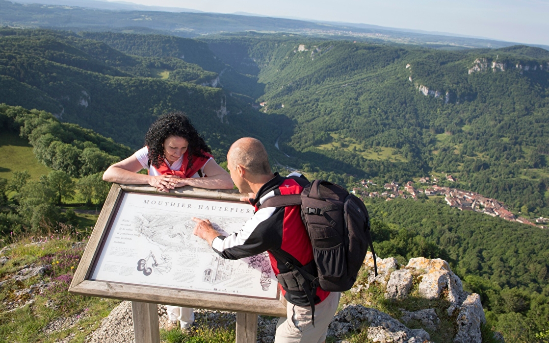
Itinérance sur la Via Francigena
Discover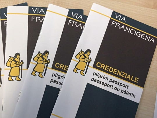
Get your pilgrim's credencial!
The pilgrim's 'credencial' or accreditation is a document certifying that you completed the route.
You can get your document stamped every day at the Tourist Offices, holiday gites, churches, town halls or shops in the towns and villages you pass through.
The advantage of this document is that it will grant you a great number of discounts in the bars and restaurants along the Via Francigena, and you'll also be able to stay overnight at the special refuges.
For those walking along the final 100 km, holders of the credencial will also be presented with the Testimonium, the equivalent of the 'Compostela' that you are given at the end of the Camino de Compostela.
Practical information
The iPhone and Android application provides you with GPS tracking along the entire Via Francigena route, from Canterbury (Kent, England) to Rome (Lazio, Italy), covering more than 2,200 km, divided into 104 steps.
The maps and descriptions for each step can be downloaded beforehand onto a smartphone, and then used offline if needed.
Find the guide corresponding to your chosen section. Each guide features all the information you'll need, to be able to make the most of your experience.
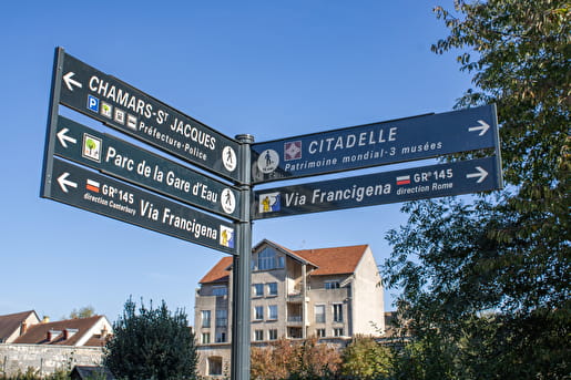
In France, follow the markings for the GR®145 which is the new number assigned to this long-distance hiking route by the Fédération Française de Randonnée Pédestre (French Hiking Federation).
The route is marked with two horizontal lines (red and white) and a logo of a little yellow pilgrim carrying a backpack.


